27 June 2004 Hike
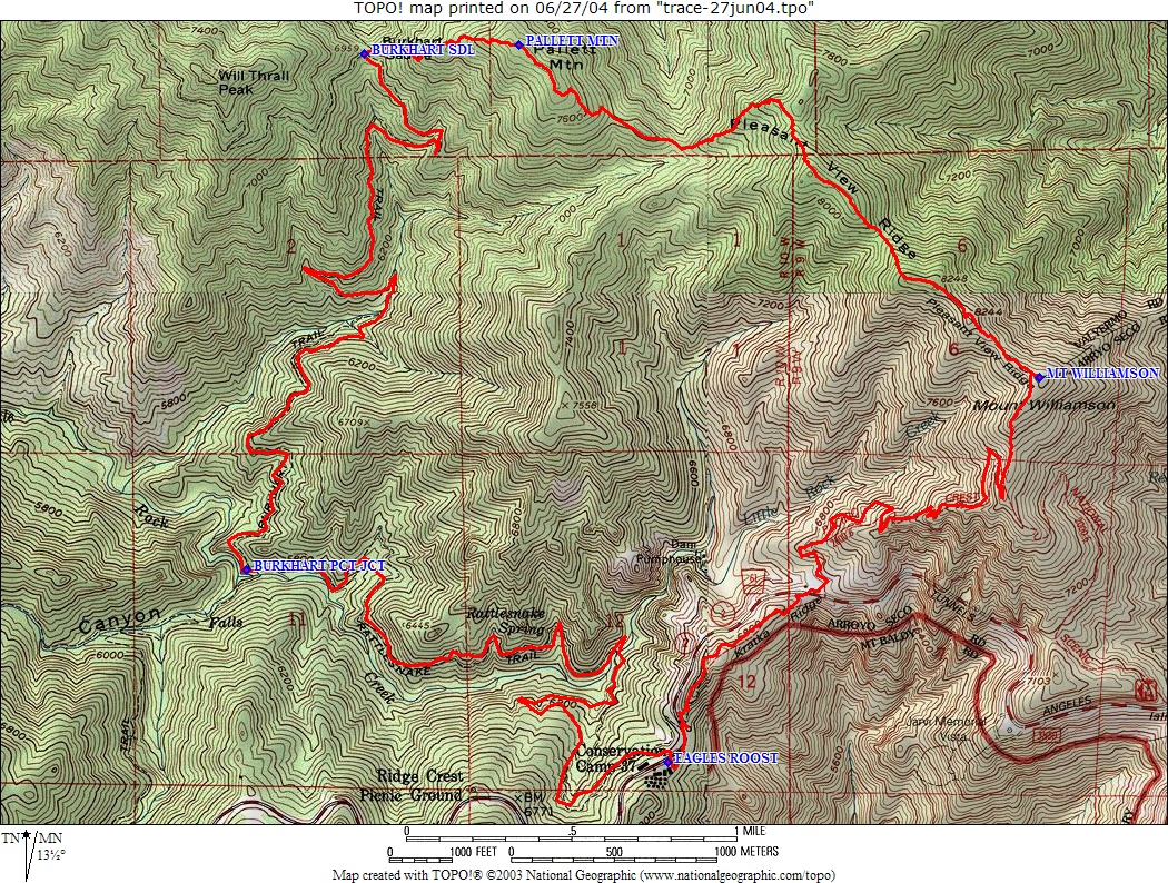
Route
.jpg-only route
Elevation profile
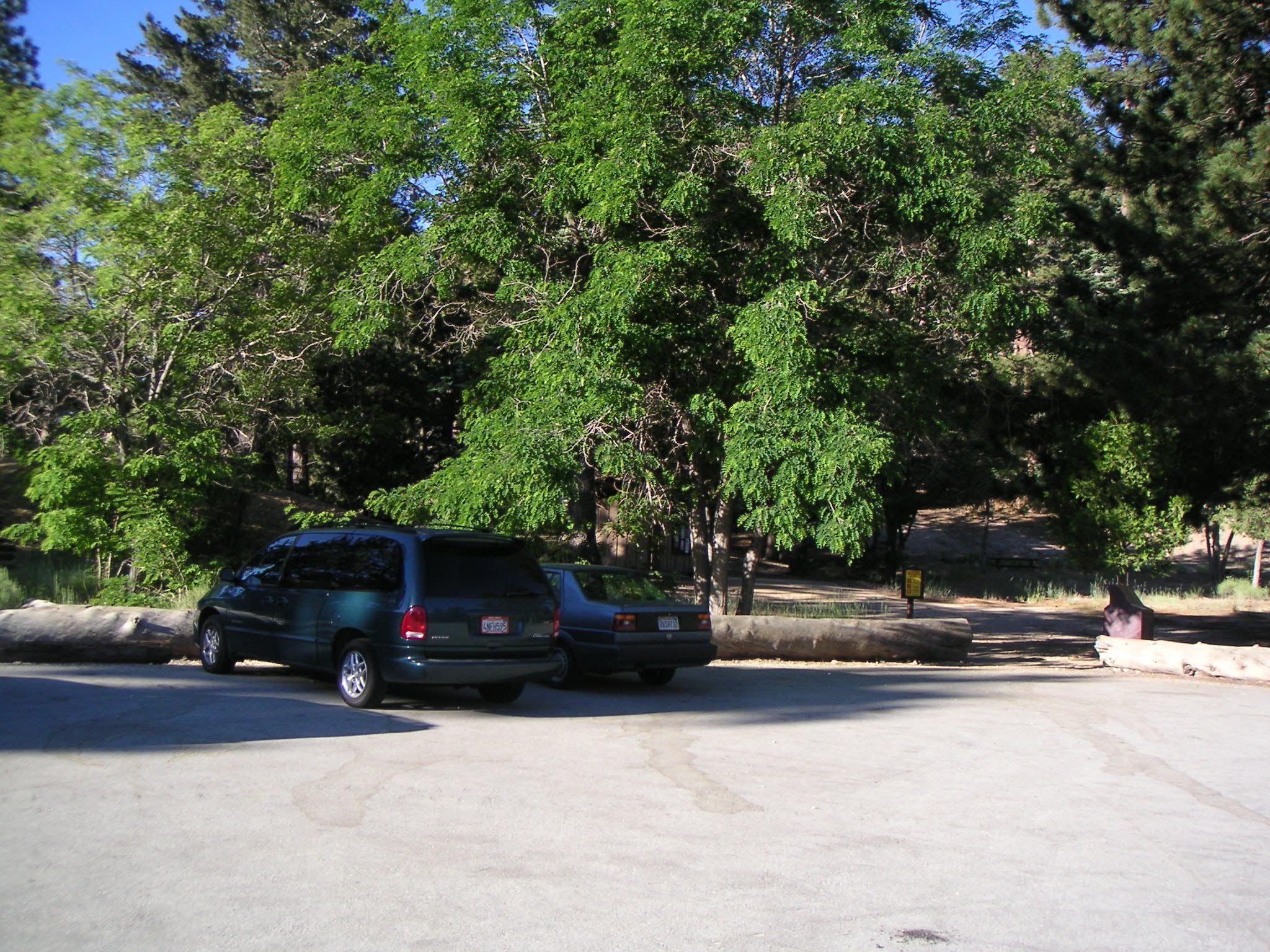
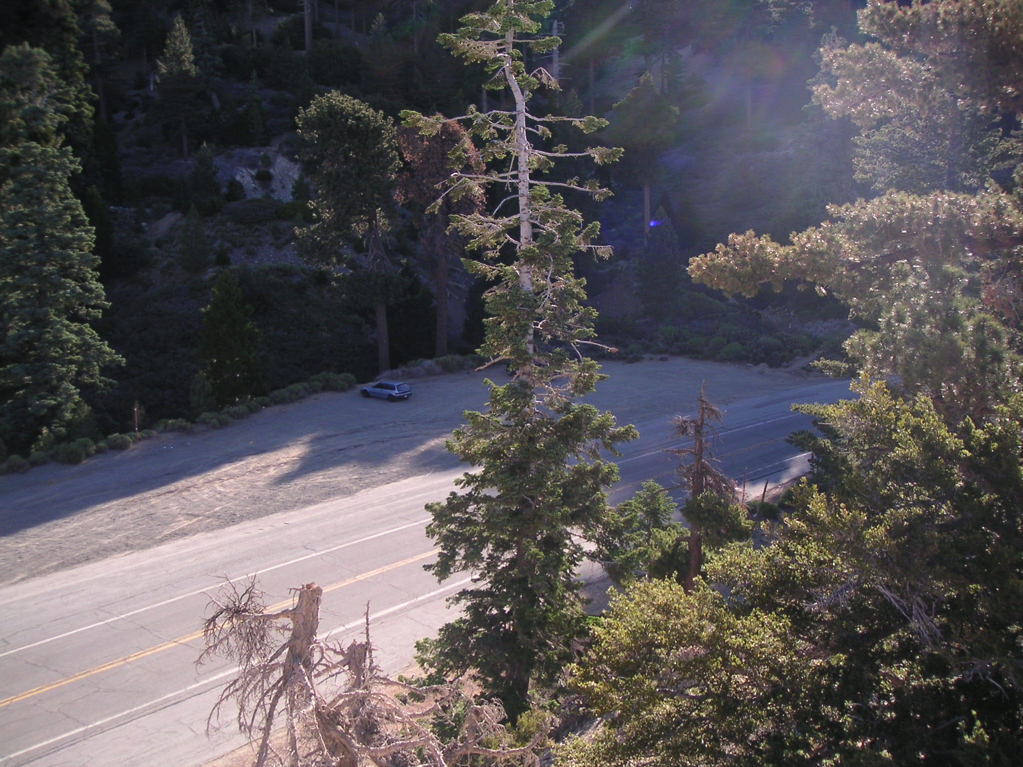
Eagle's Roost Picnic Area Parking Lot |
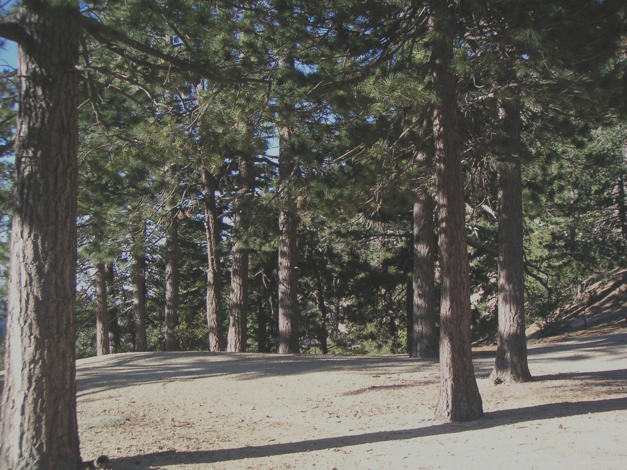
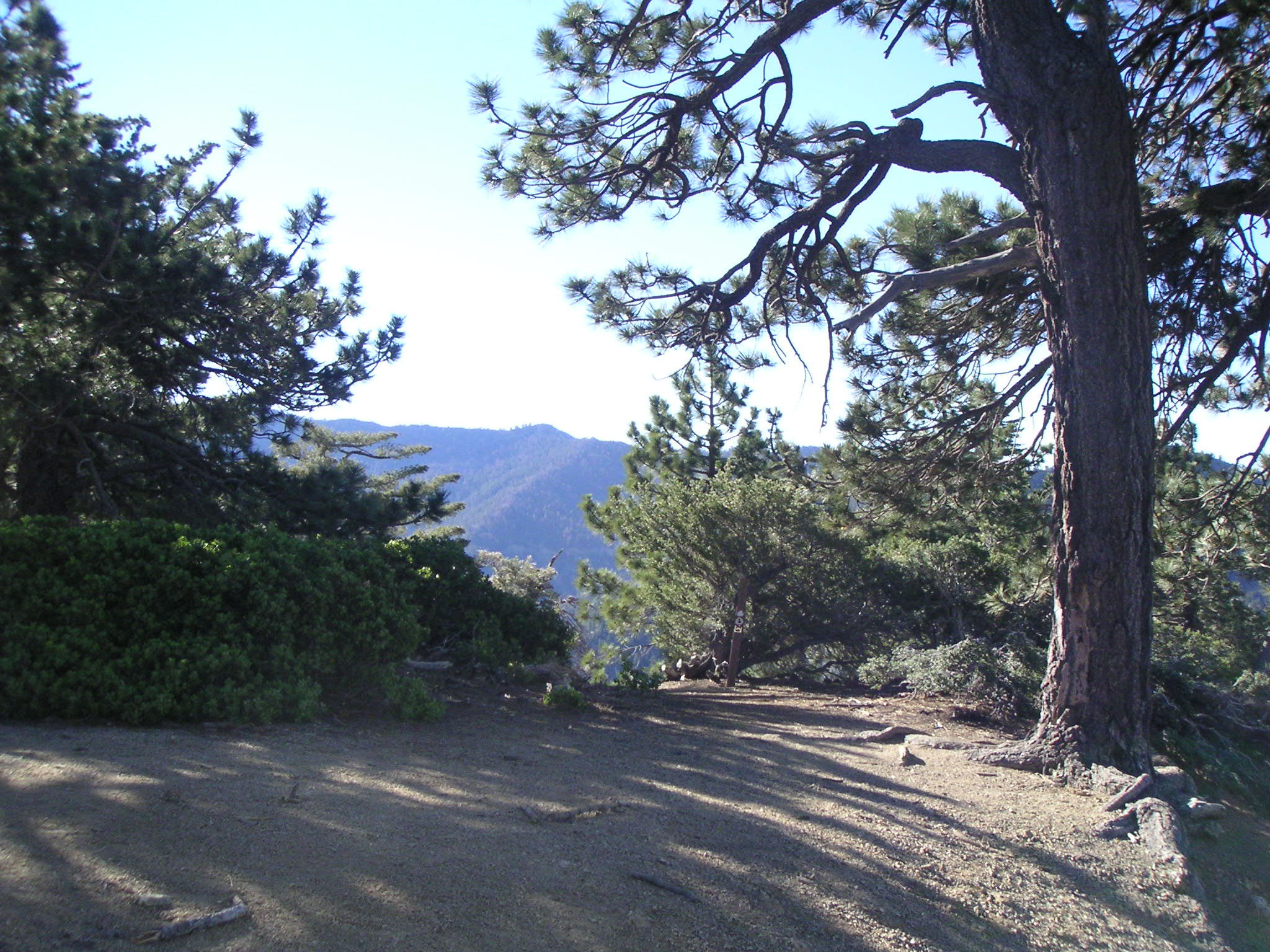
Eagle's Roost Picnic Area |
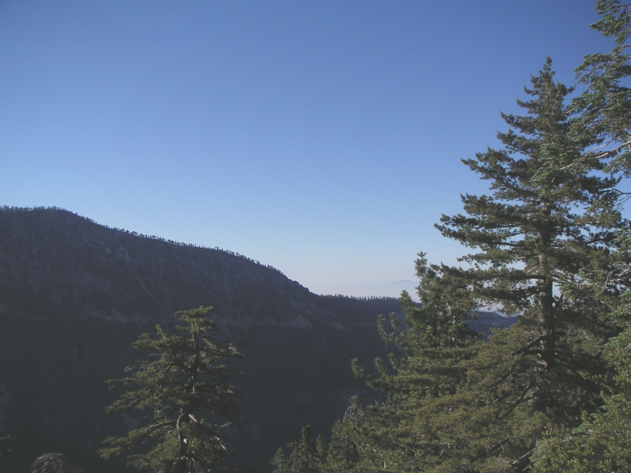
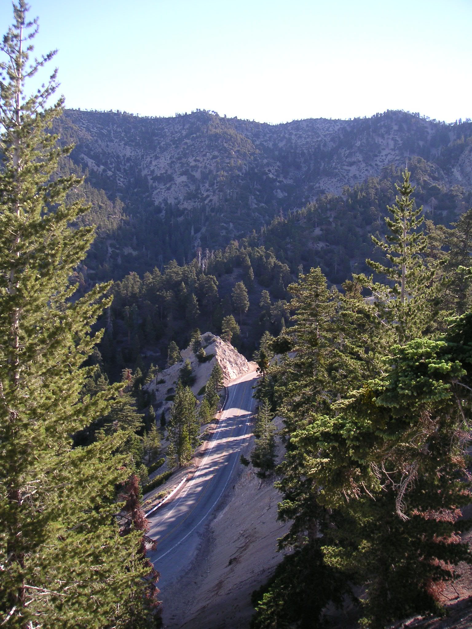
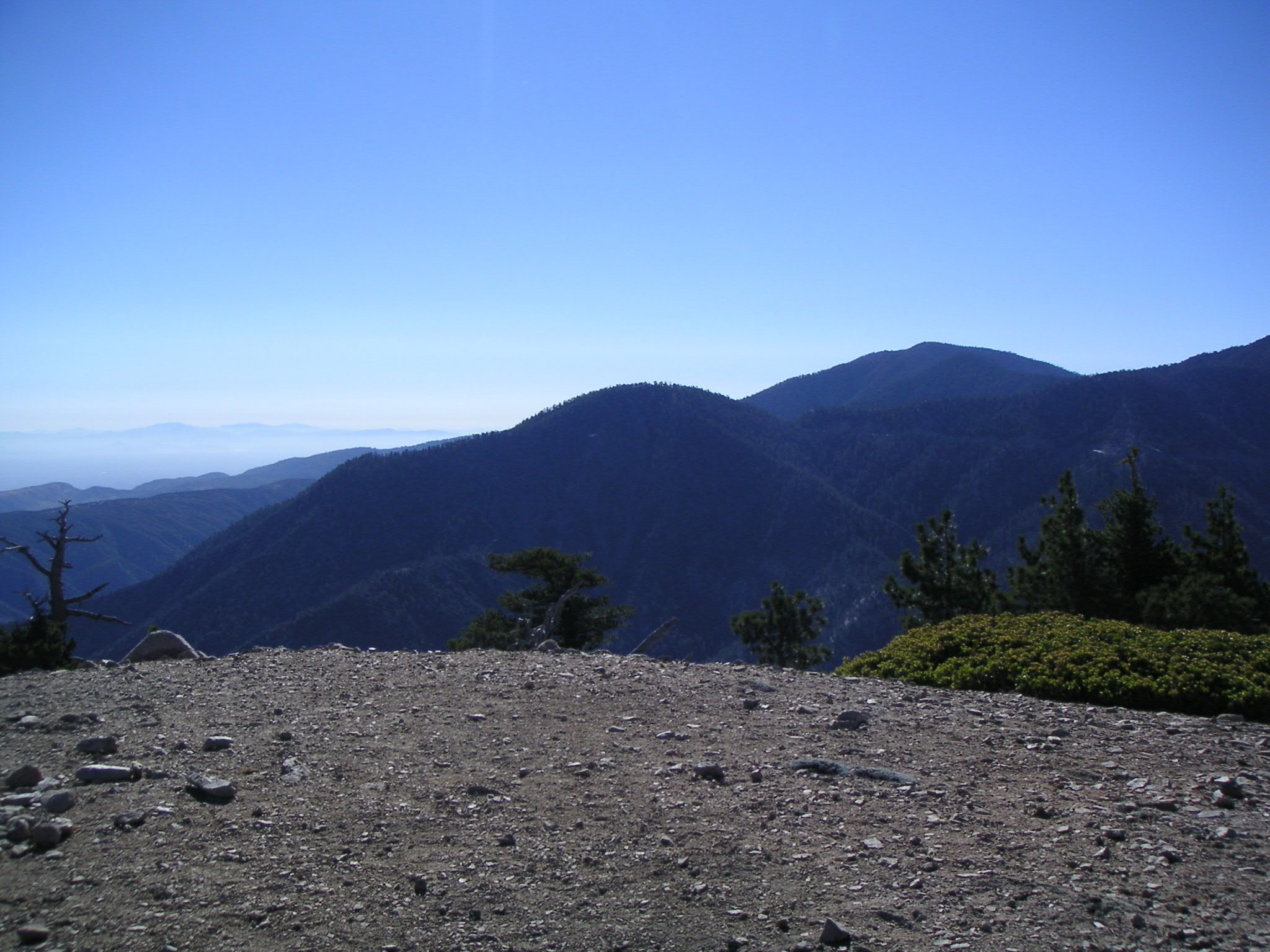
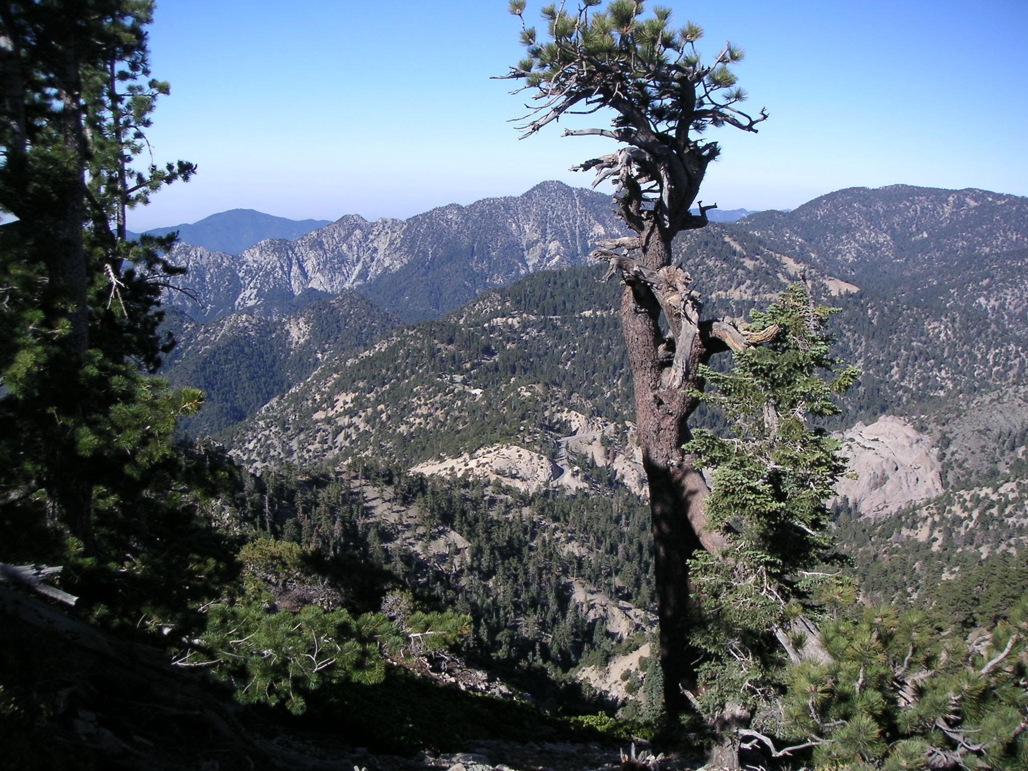
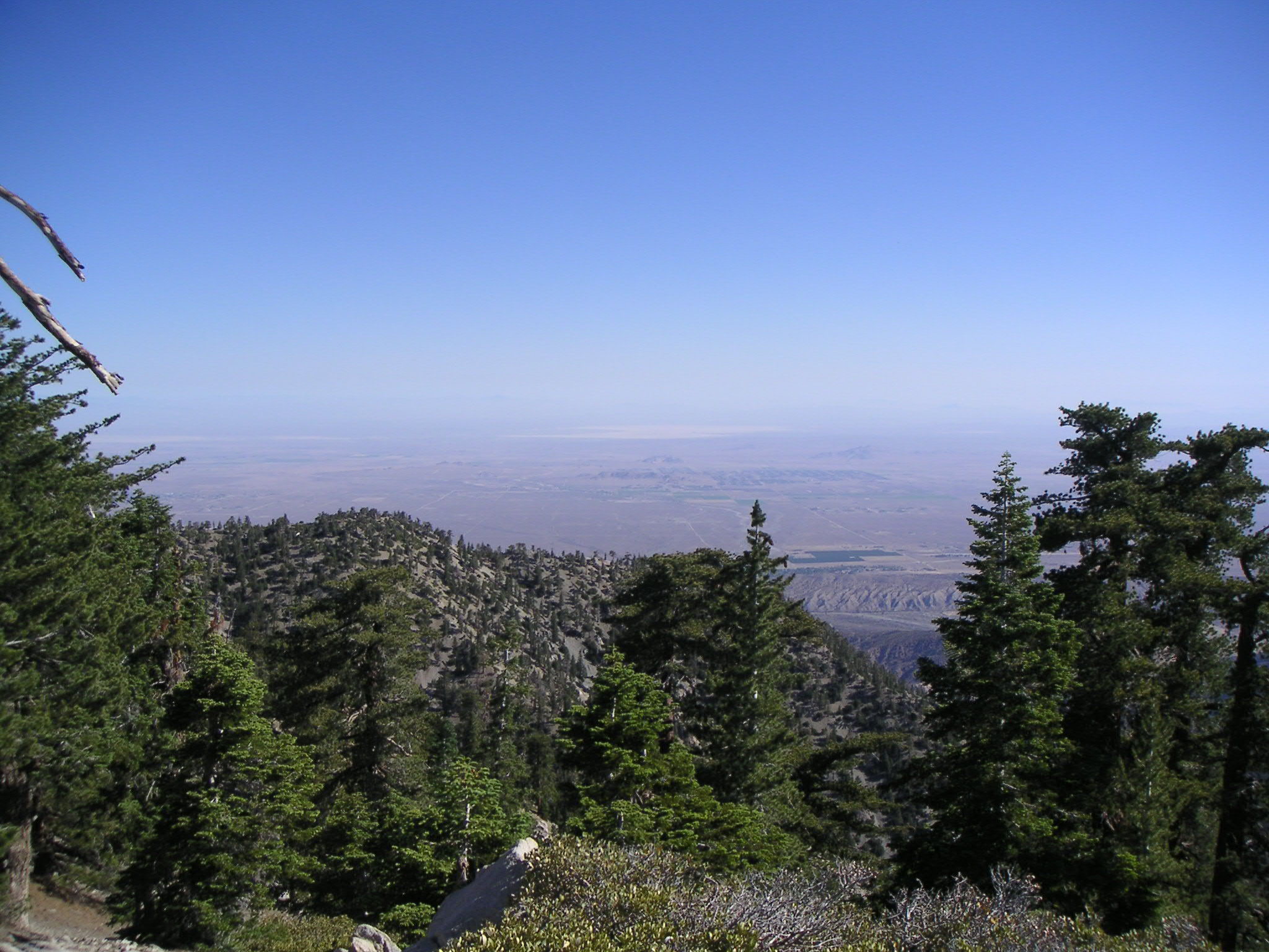
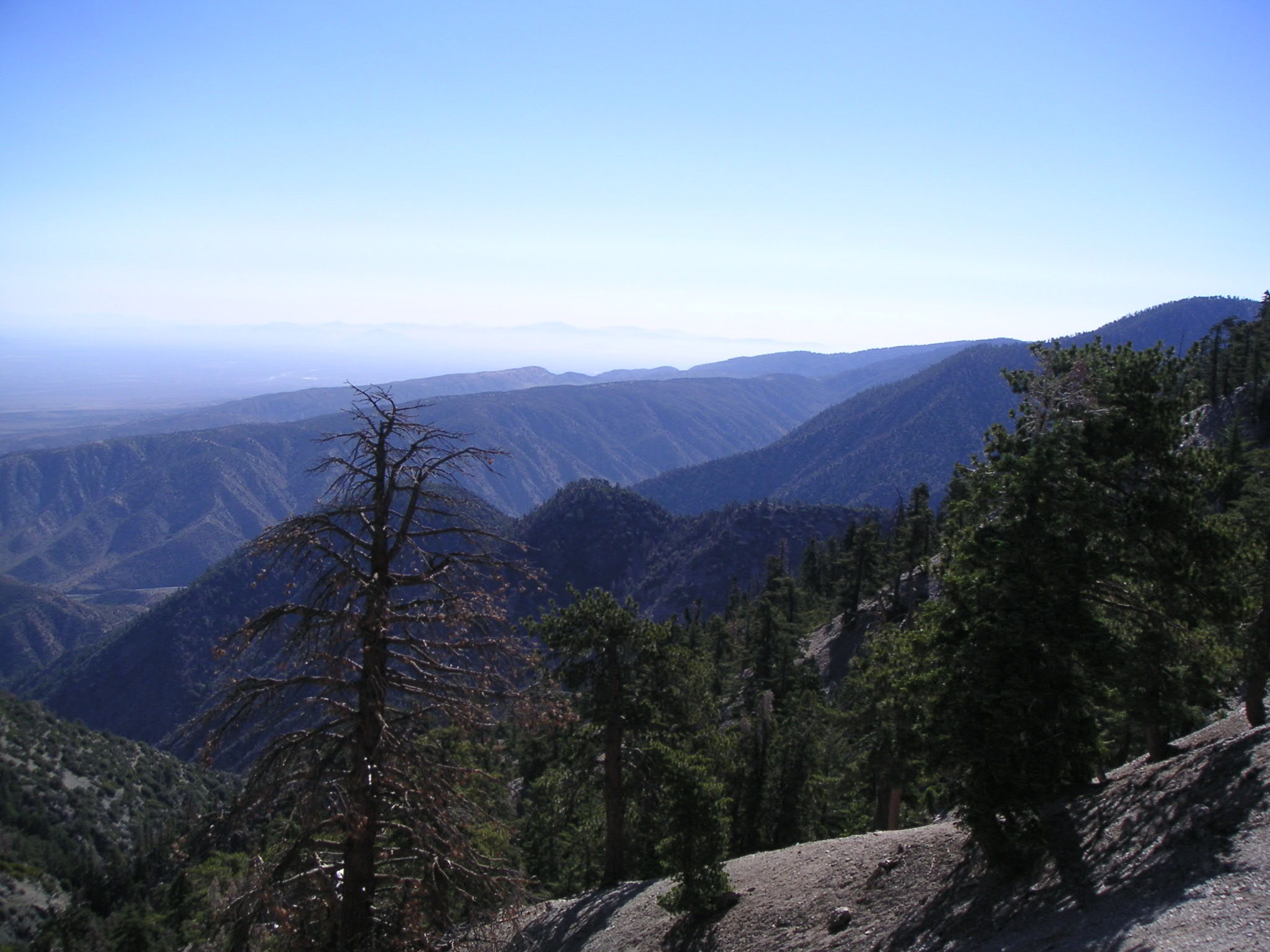
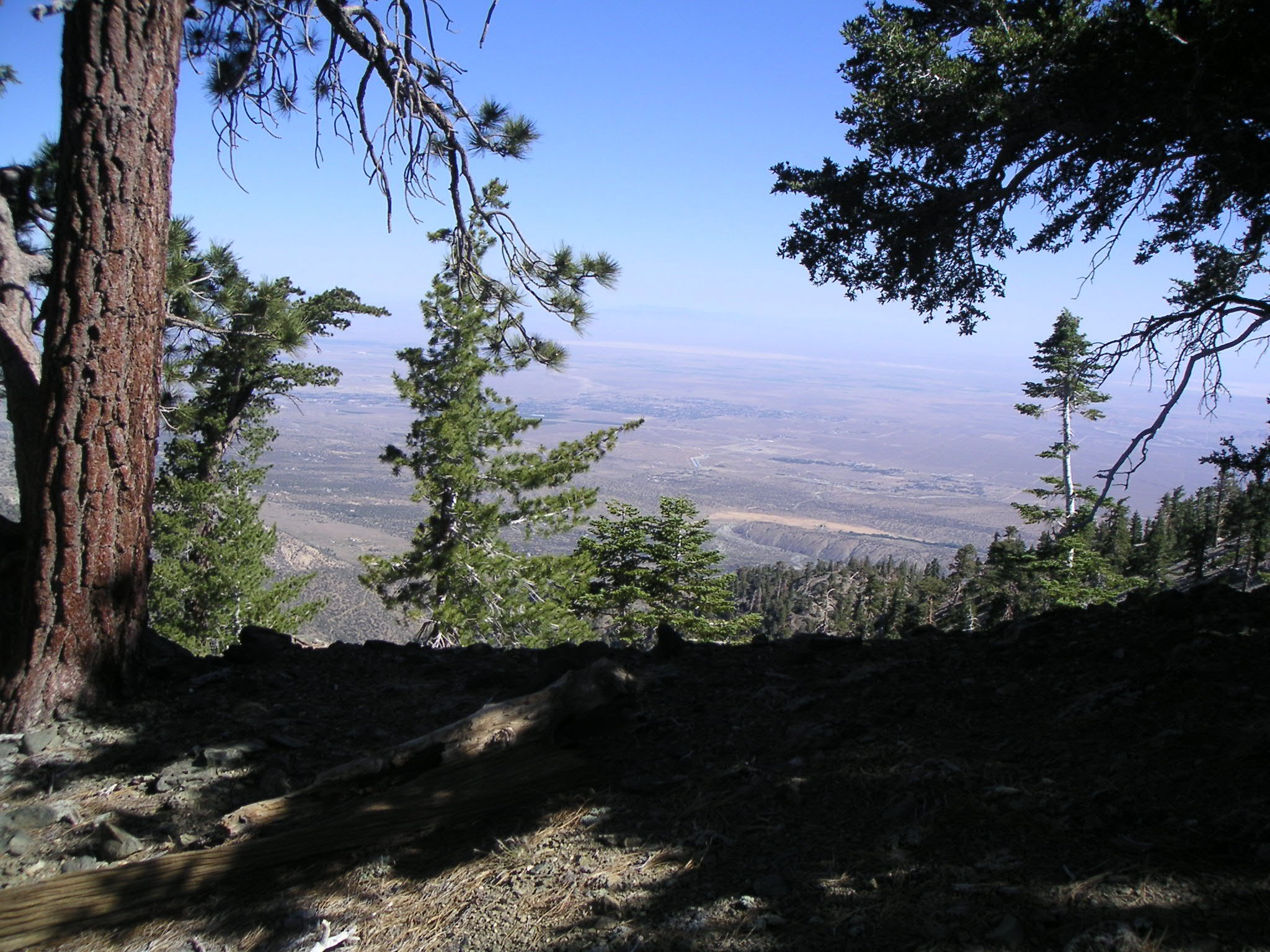
Looking Southeast from Eagle's Roost Picnic Area |
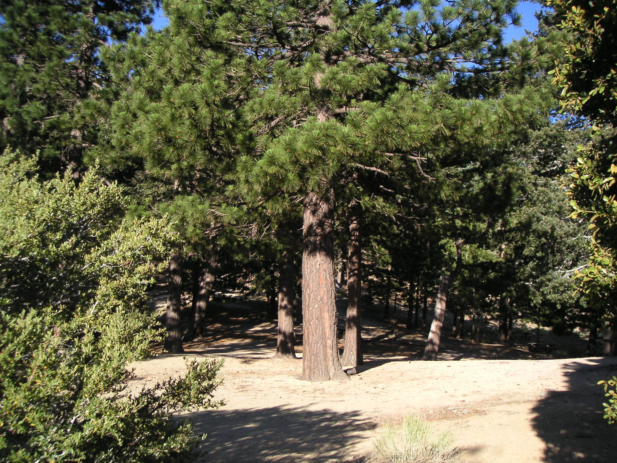
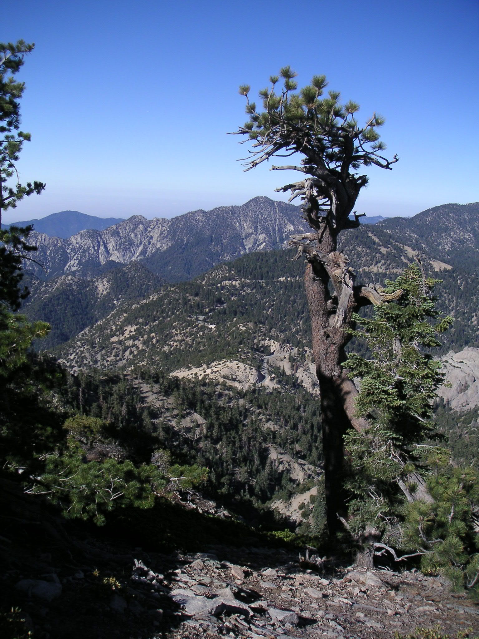
Eagle's Roost Picnic Area |
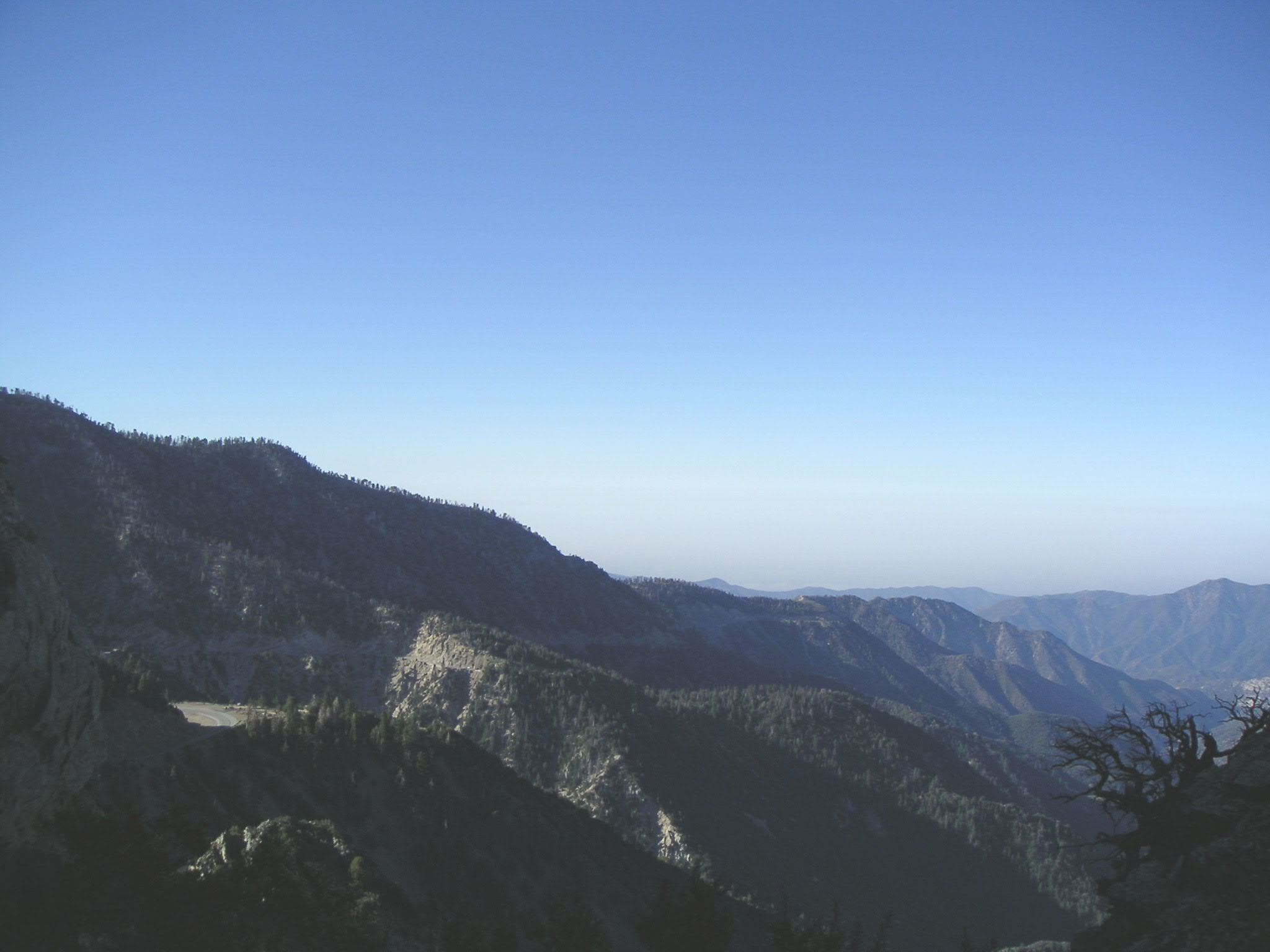
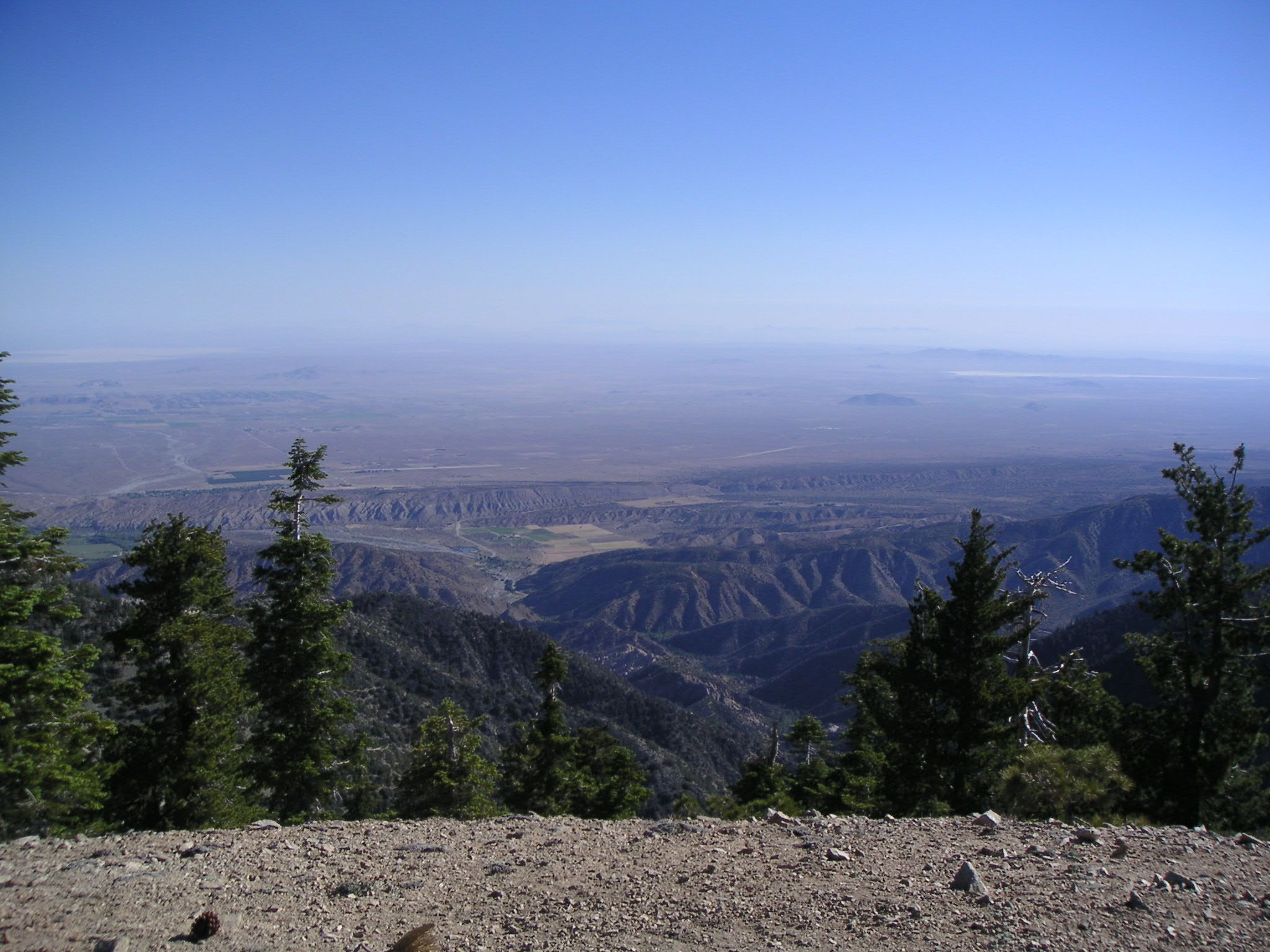
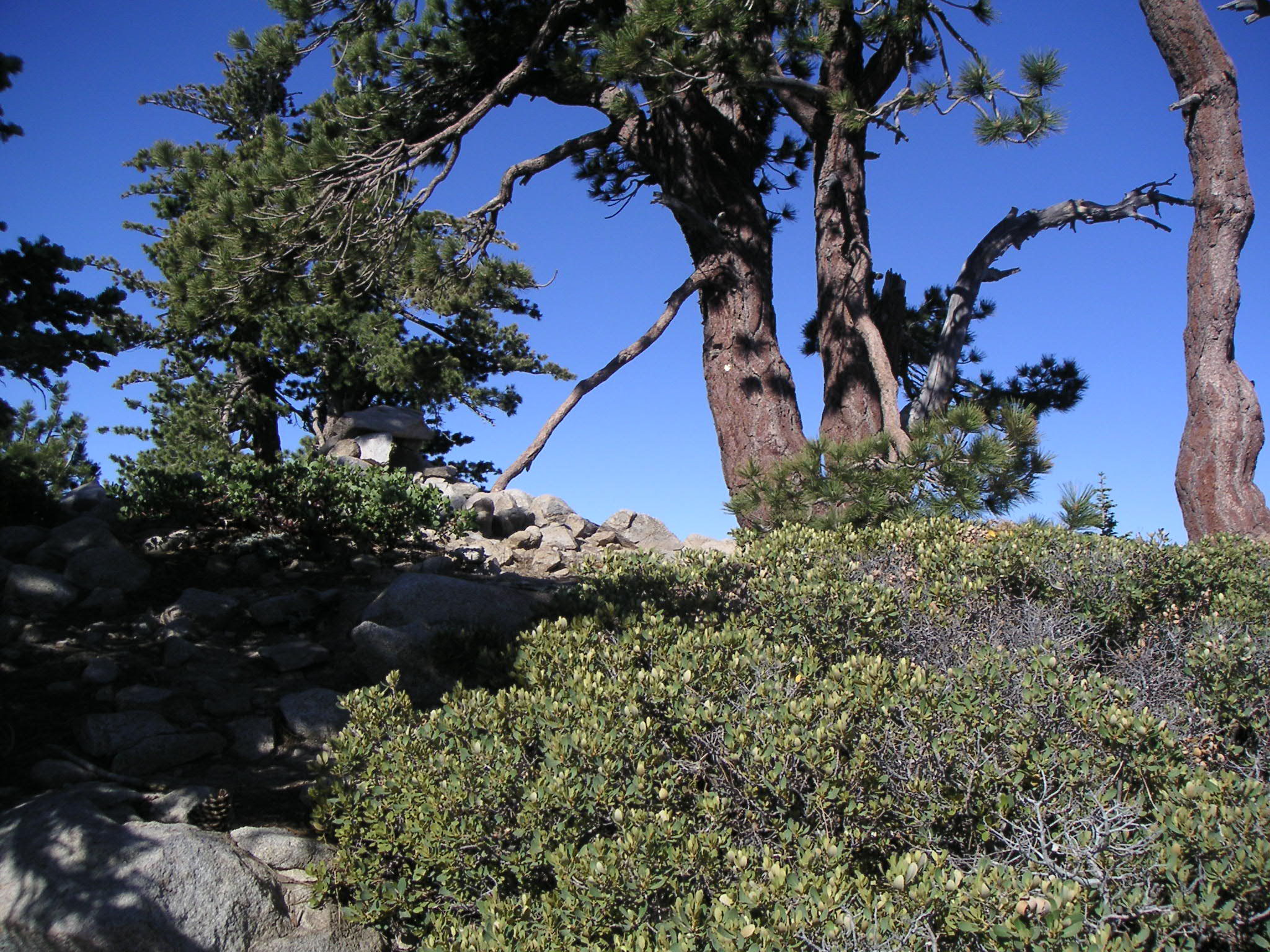
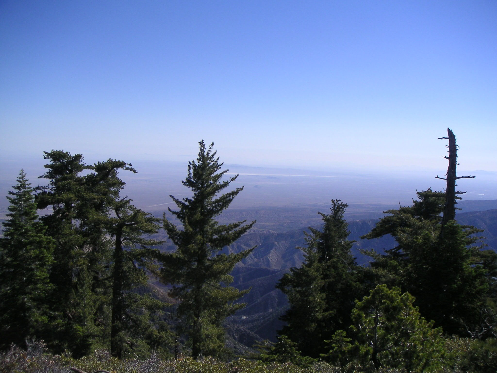
Looking West from Eagle's Nest Maintenance Building |
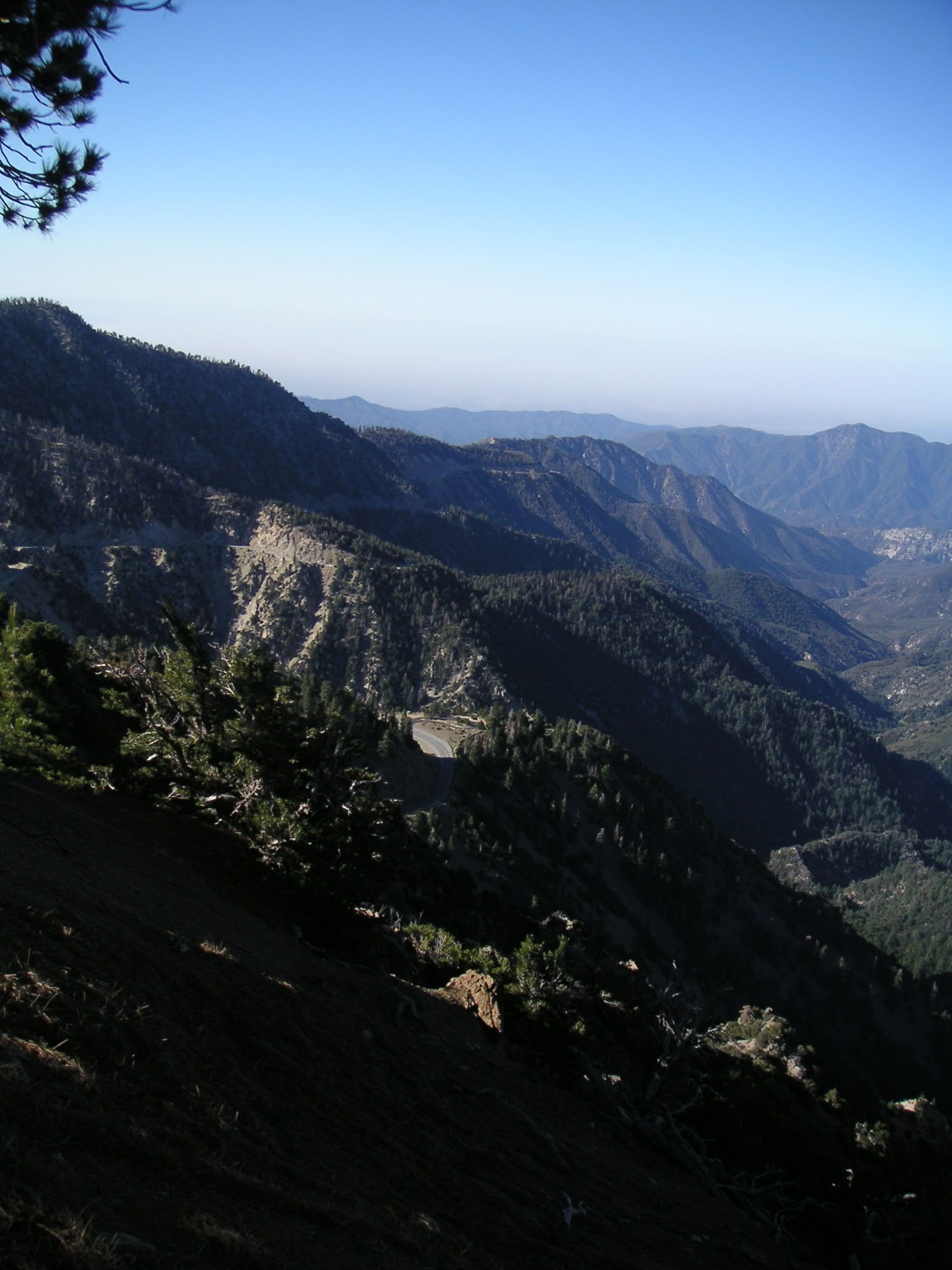
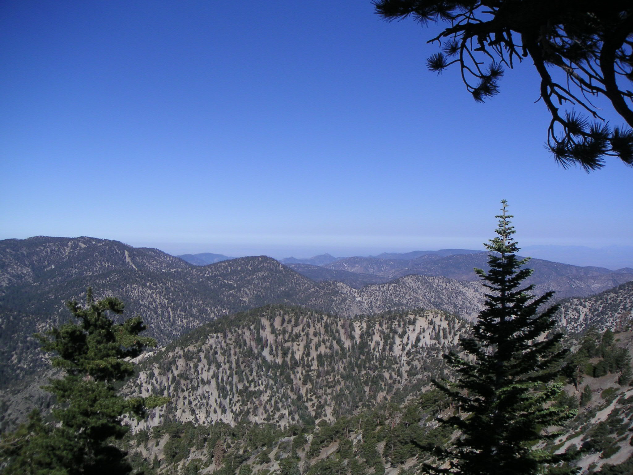
Looking Southeast from Eagle's Nest Maintenance Building |
Looking Southeast from Eagle's Nest Maintenance Building |
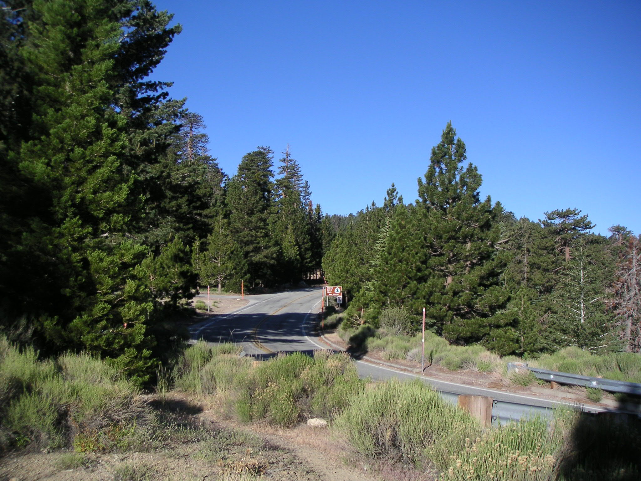
Looking North from Pacific Crest Trail at Angeles Crest Highway |
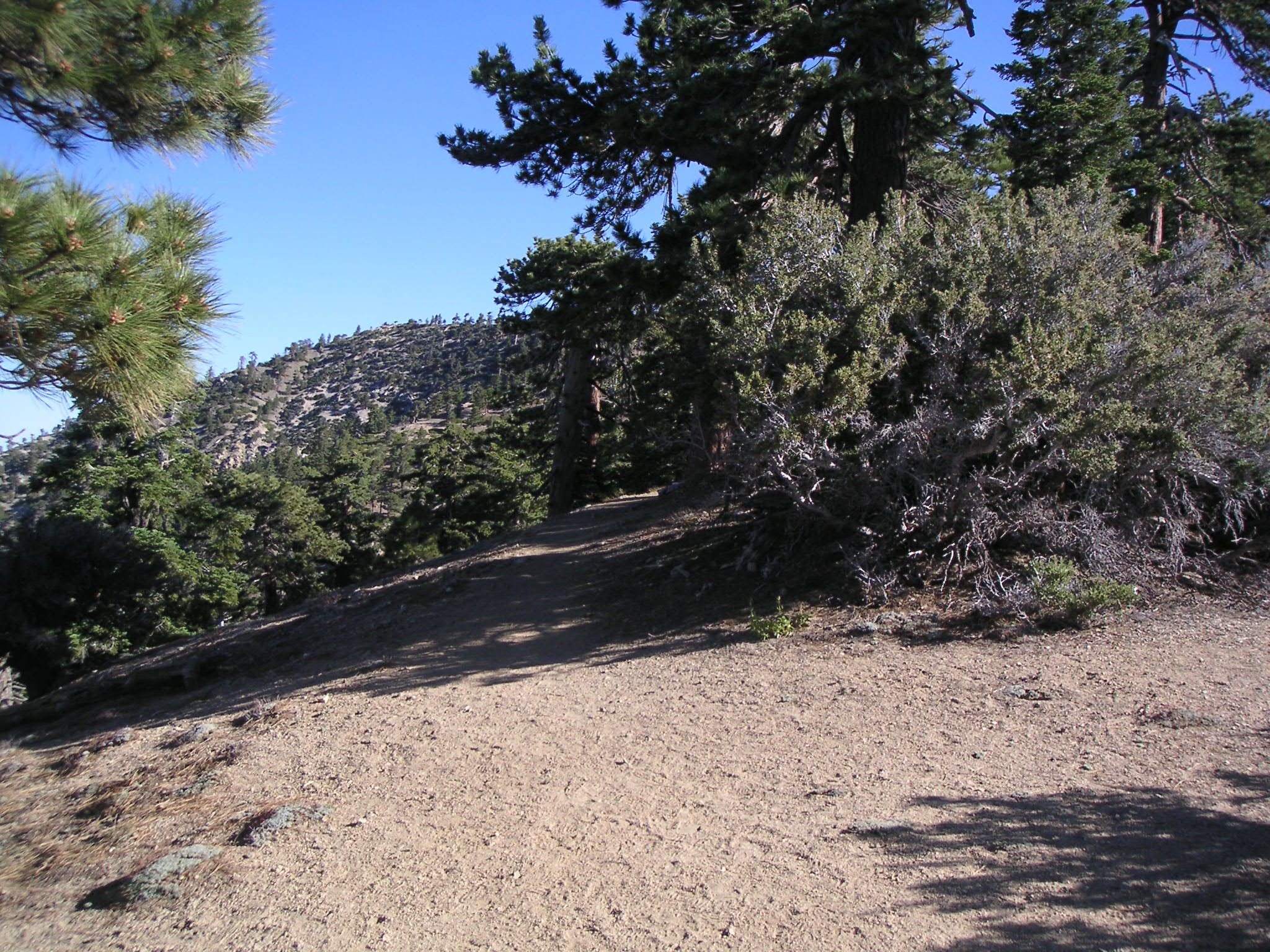
Parking Lot at Mt. Williamson Trailhead (North Side Angeles Crest Highway) |
Looking South from Pacific Crest Trail |
Looking South from Pacific Crest Trail |
Pacific Crest Trail Toward Islip Saddle (Not Taken on this Hike) |
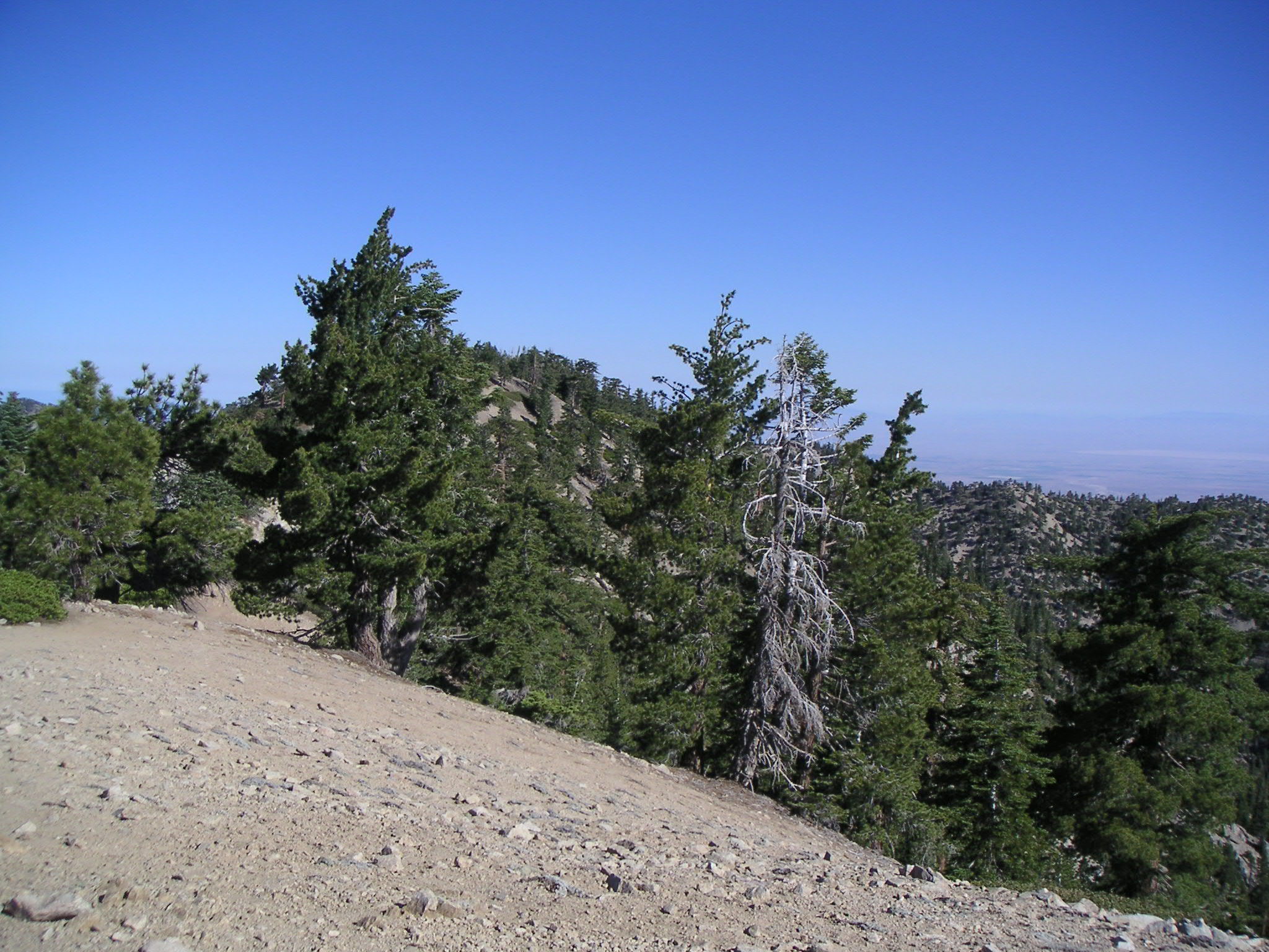
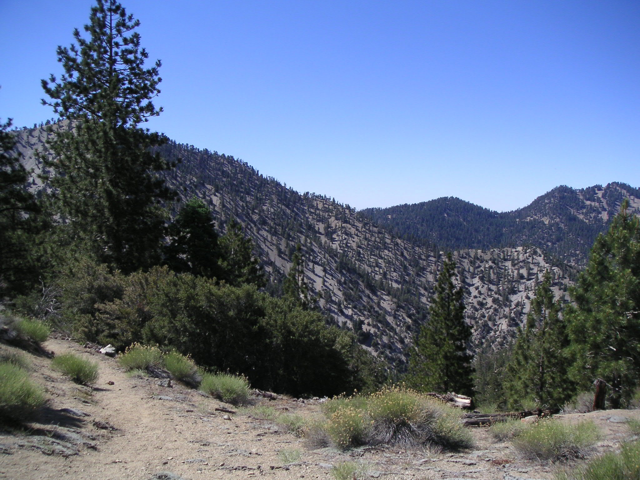
North on Pleasant View Ridge from Pacific Crest Trail |
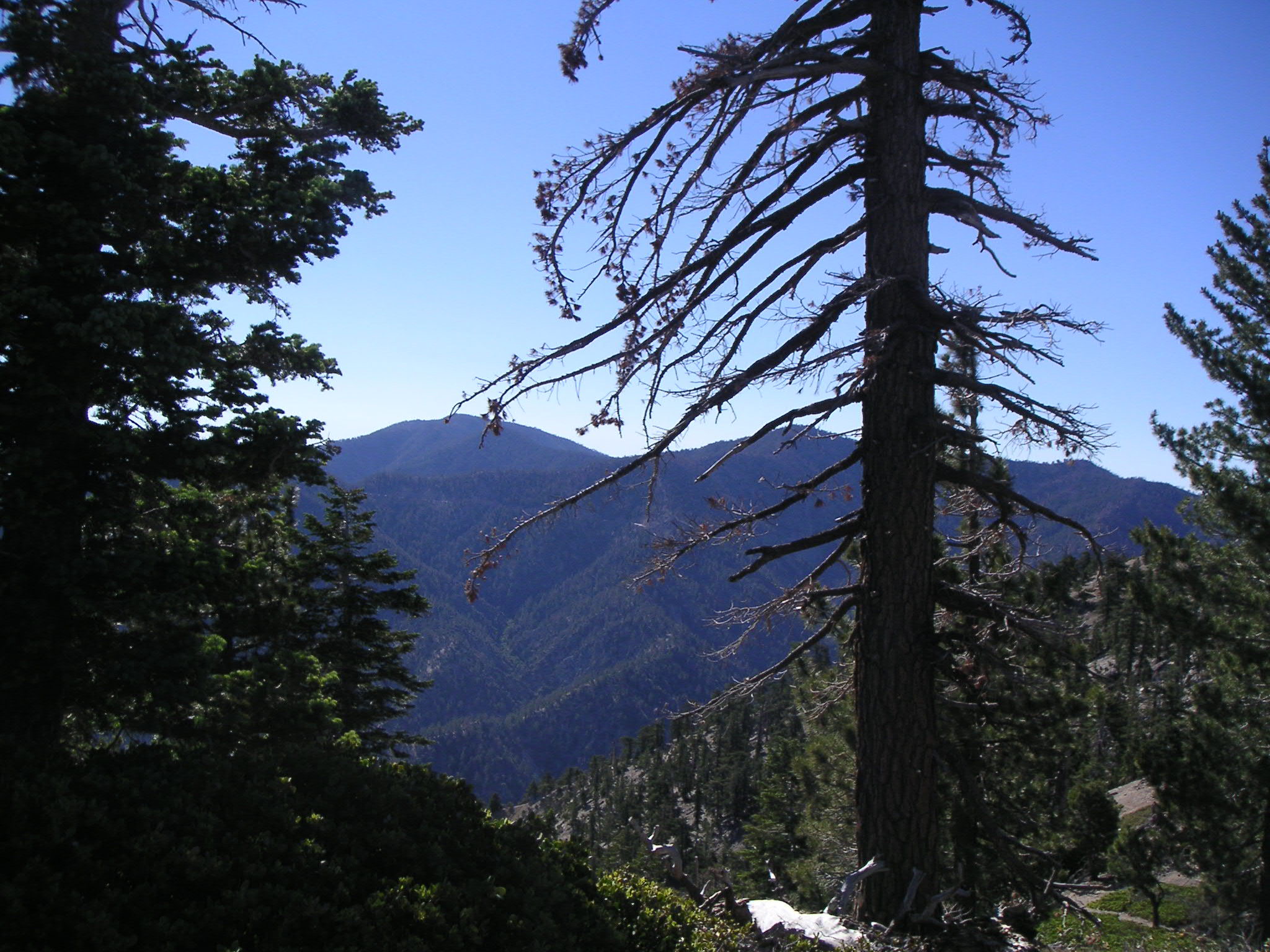
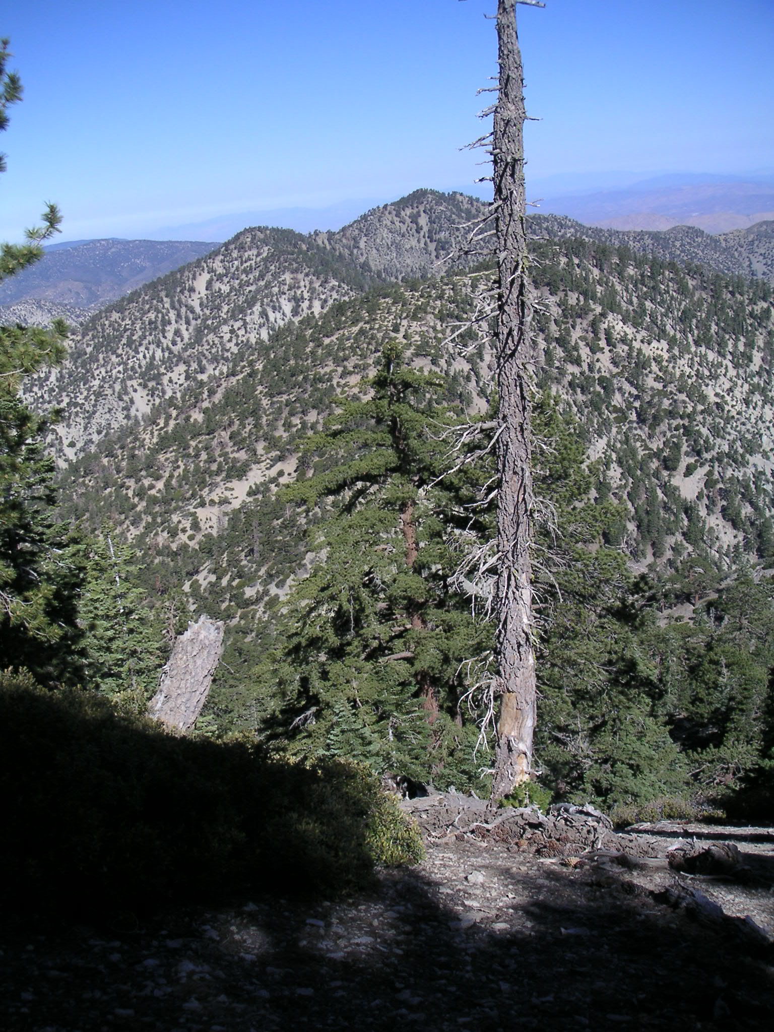
Mt. Islip from Pleasant View Ridge |
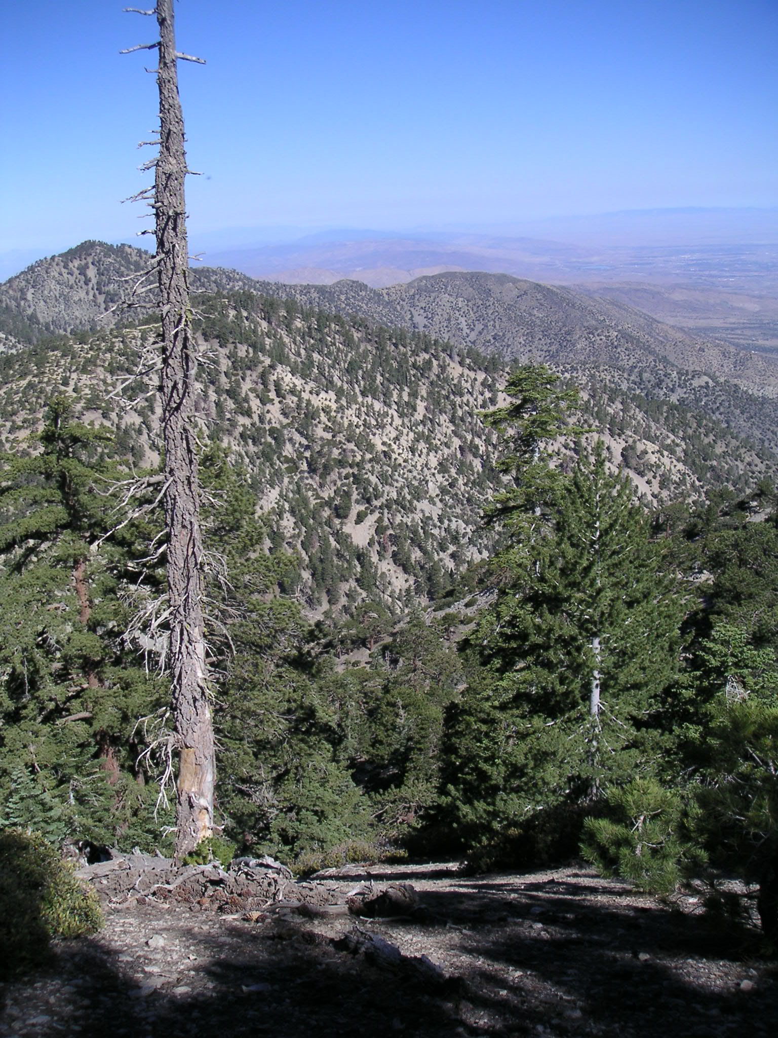
Mts. Baden Powell and Burnham and Throop Peak from Pleasant View Ridge |
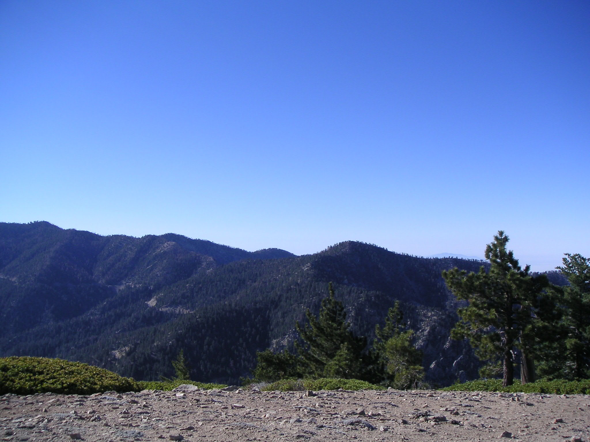
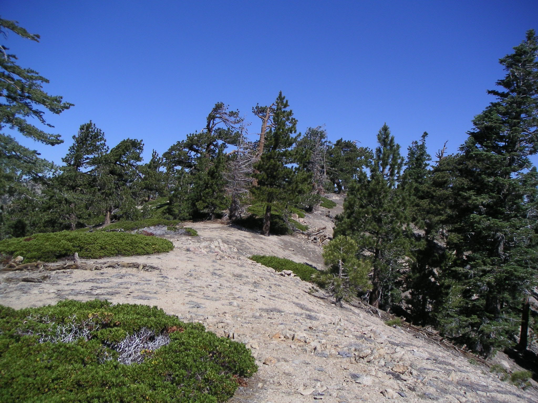
Looking East from Mt. Williamson |
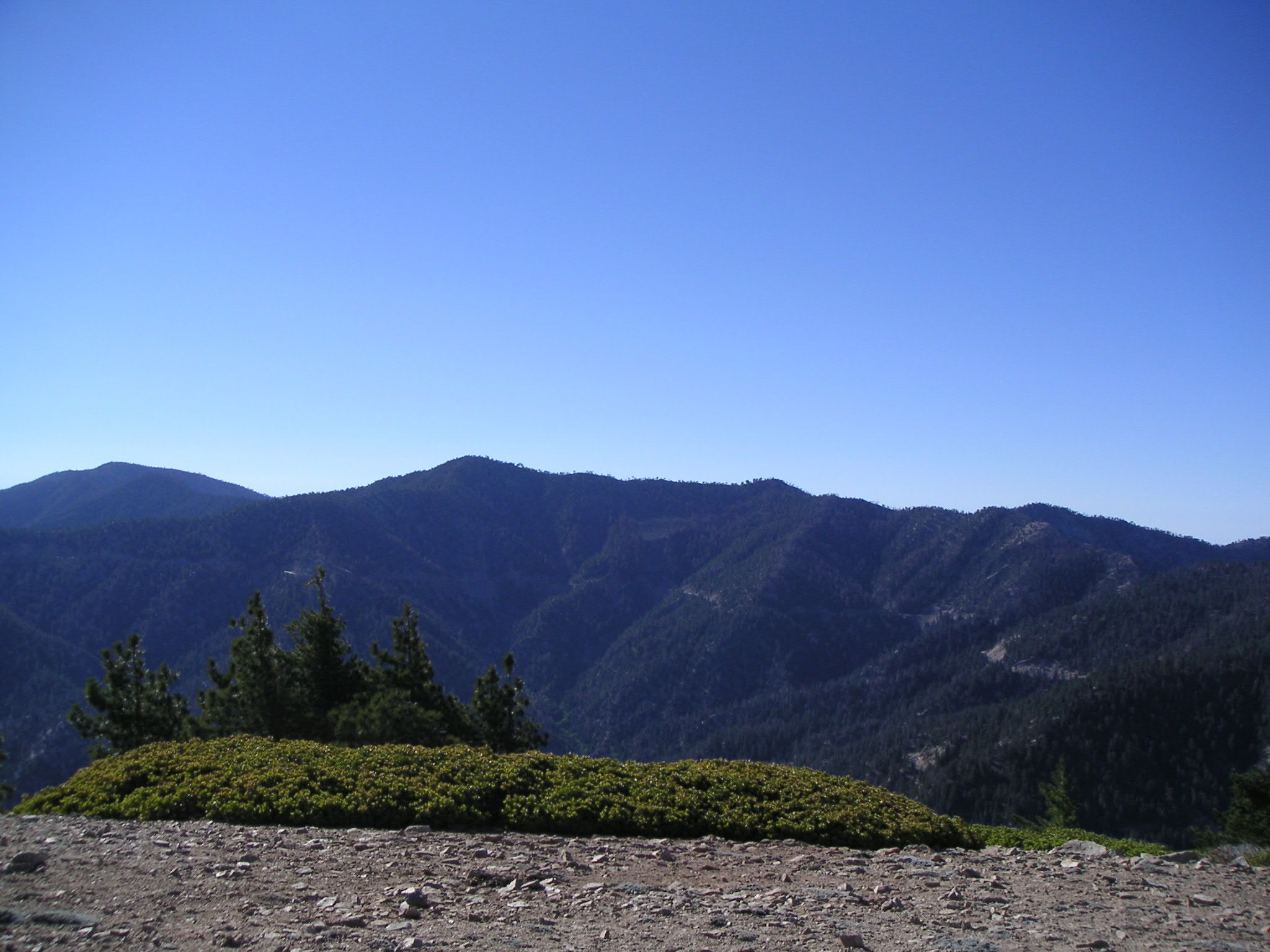
Looking North from Mt. Williamson |
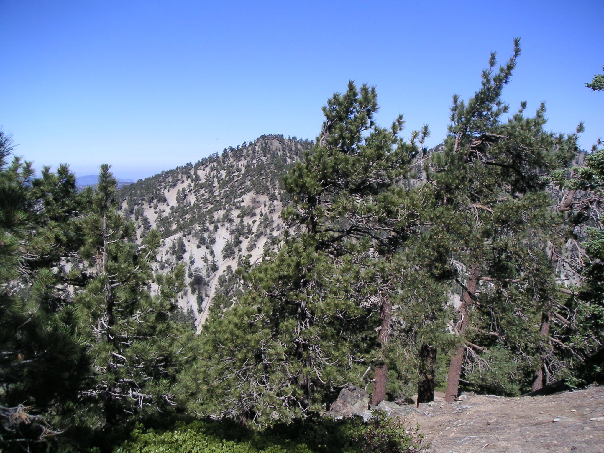
North on Pleasant View Ridge from Mt. Williamson |
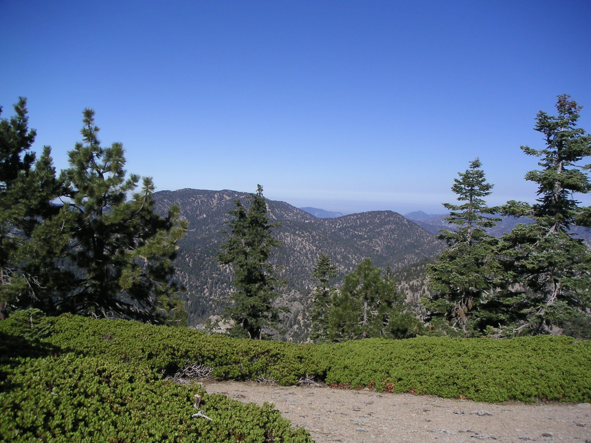
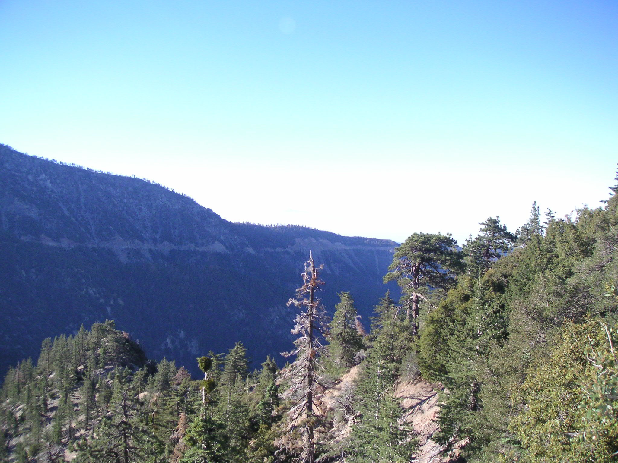
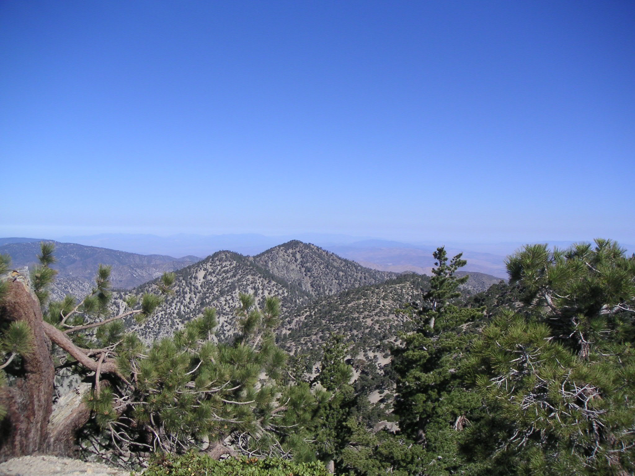
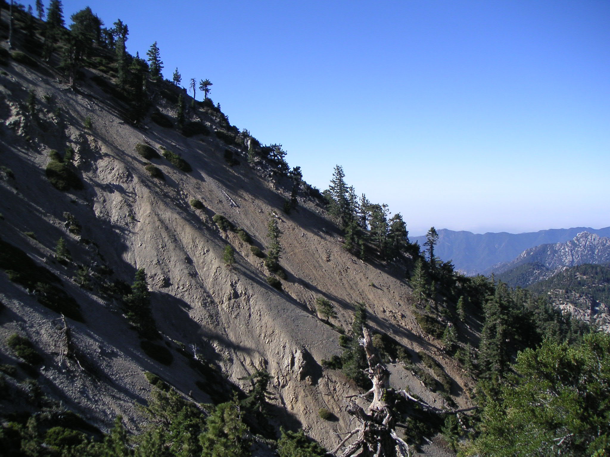
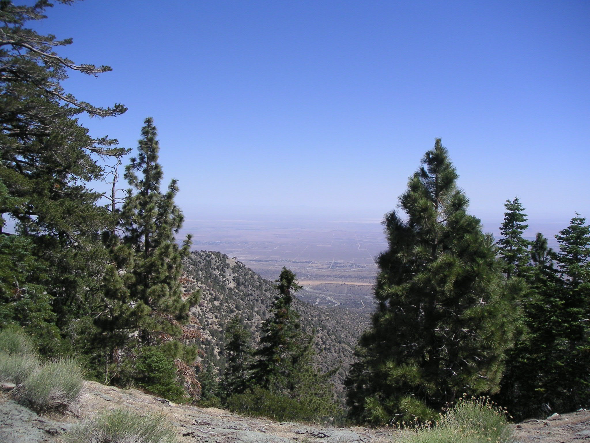
Looking West from Pleasant View Ridge |
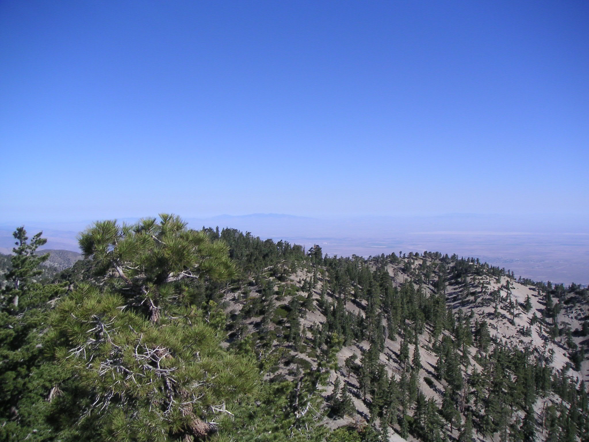
Looking South (Including Eagle's Roost) from Pleasant View Ridge |
Looking South (Including Eagle's Roost) from Pleasant View Ridge |
8244 Peak on Pleasant View Ridge |
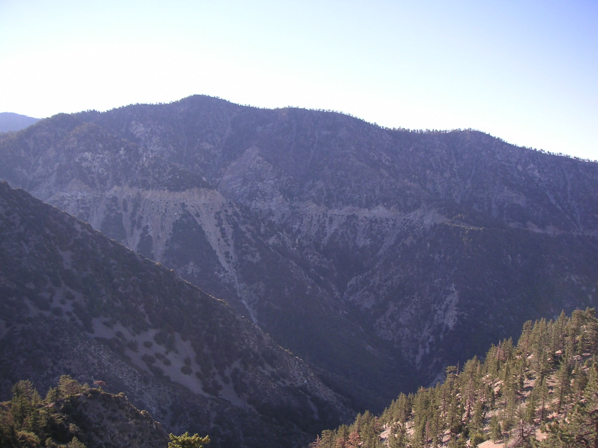
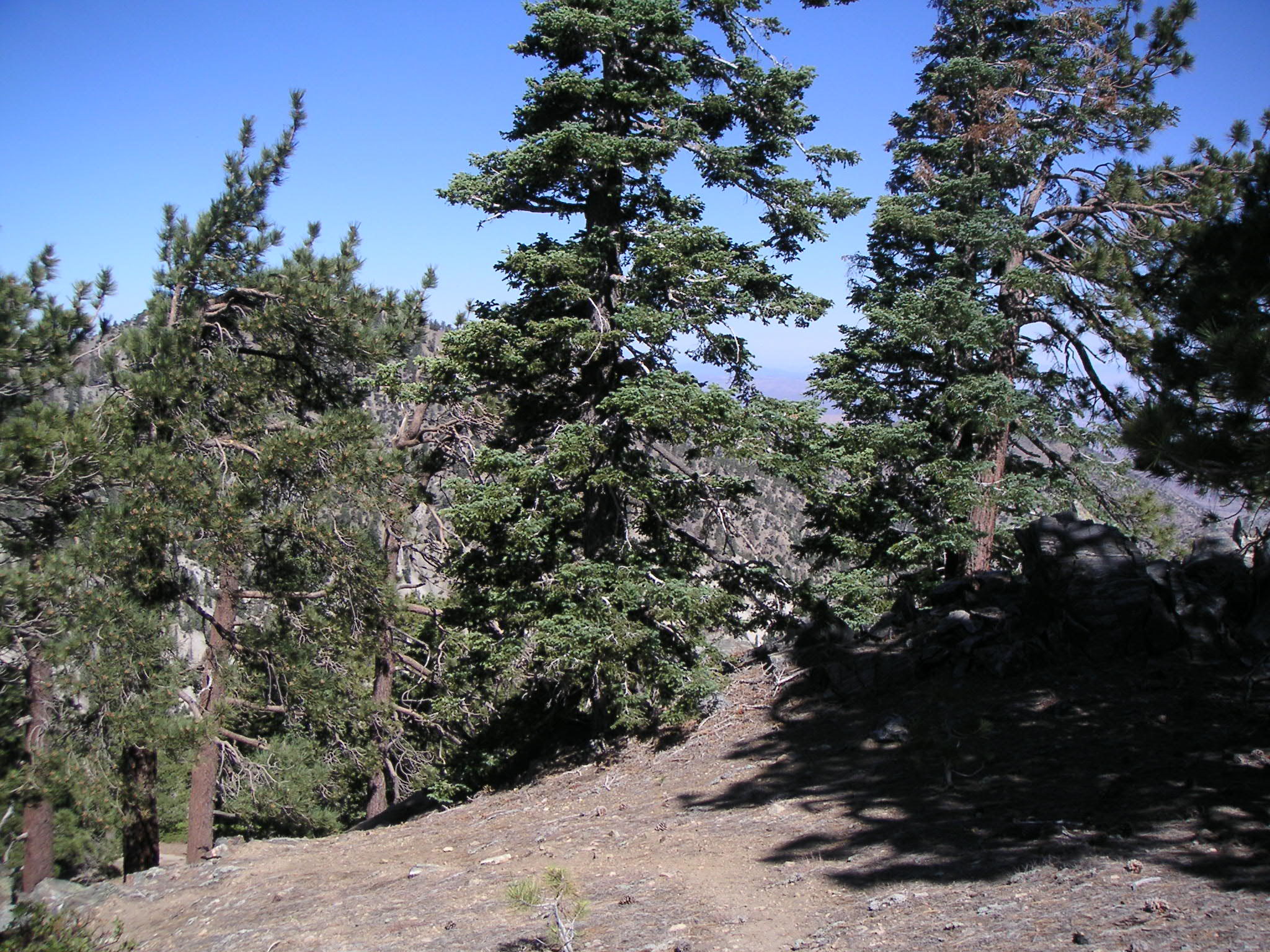
Looking West from Pleasant View Ridge |
Looking North from Pleasant View Ridge |
Looking Northeast from Pleasant View Ridge |
Looking West from Pleasant View Ridge |
Looking Northwest Along Pleasant View Ridge |
Looking Northwest Along Pleasant View Ridge |
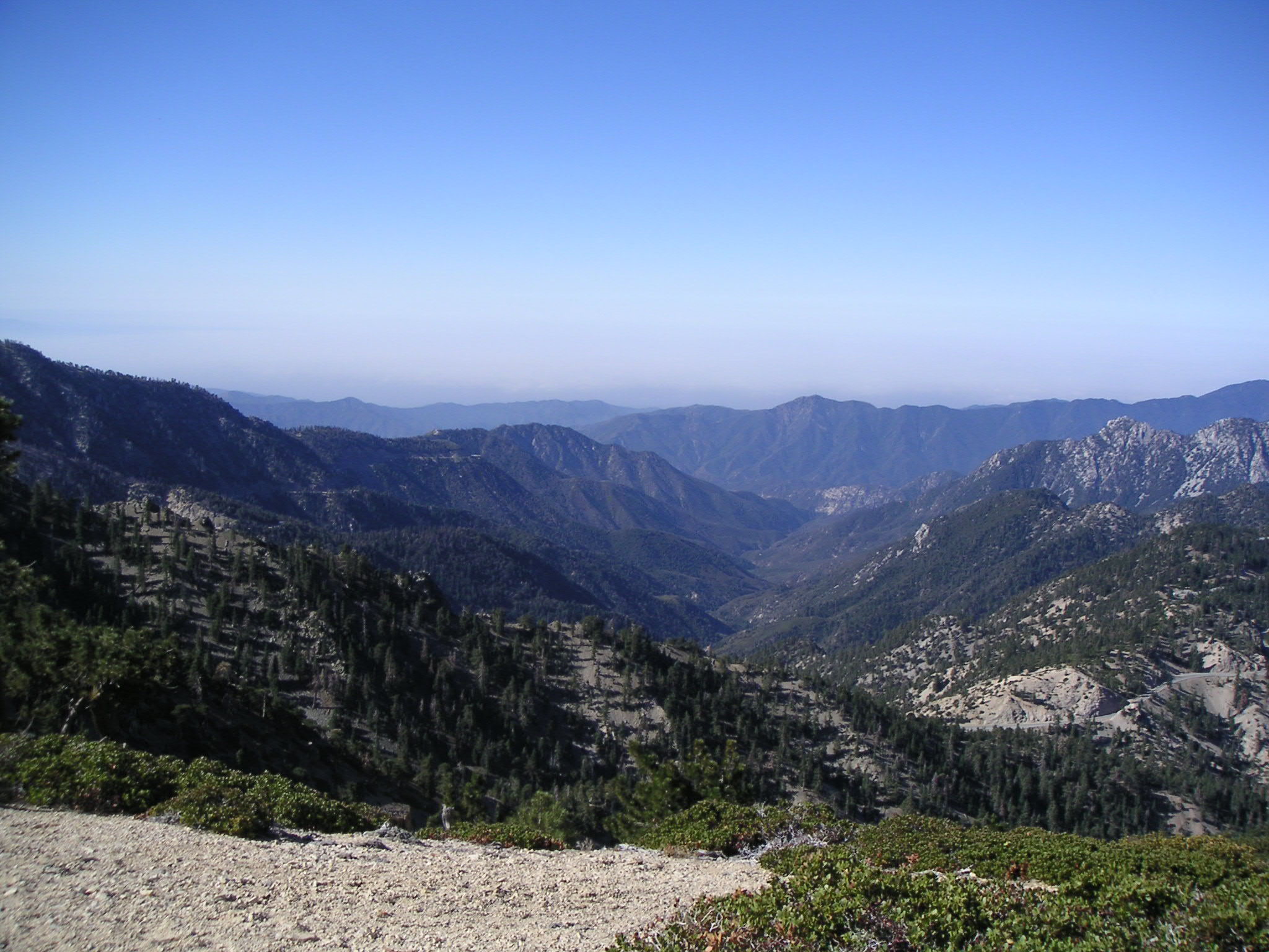
Looking South From Pleasant View Ridge (Crystal Lake Recreation Area in Distance) |
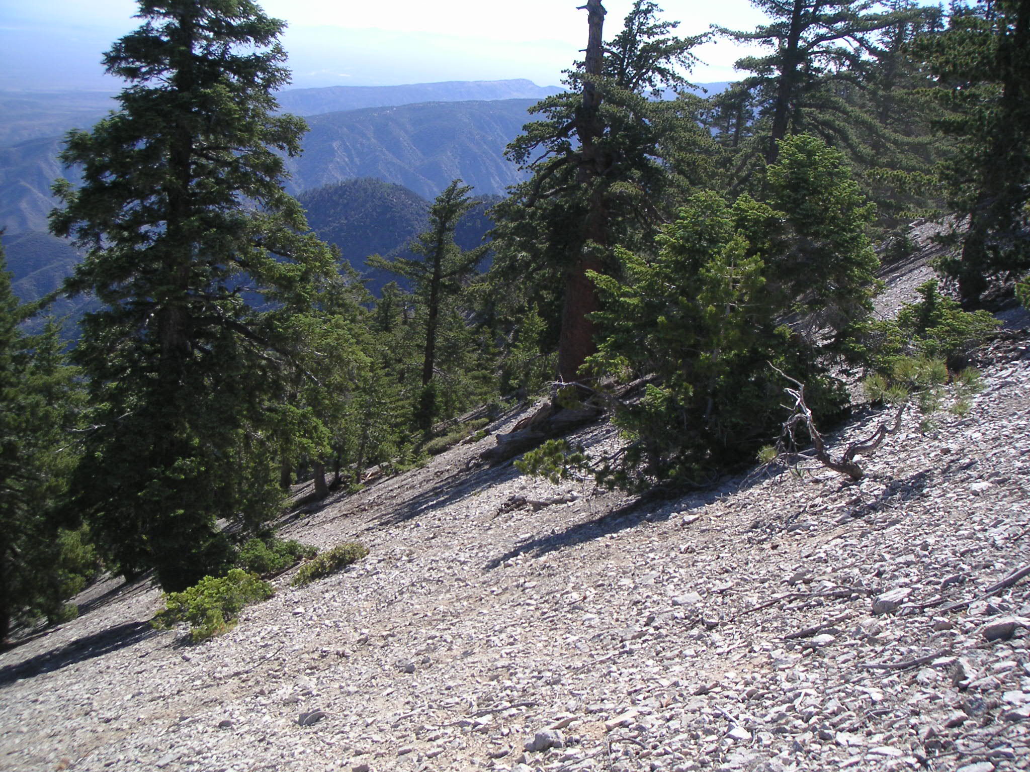
Pleasant View Ridge Trail Heading Down From Mt. Williamson |
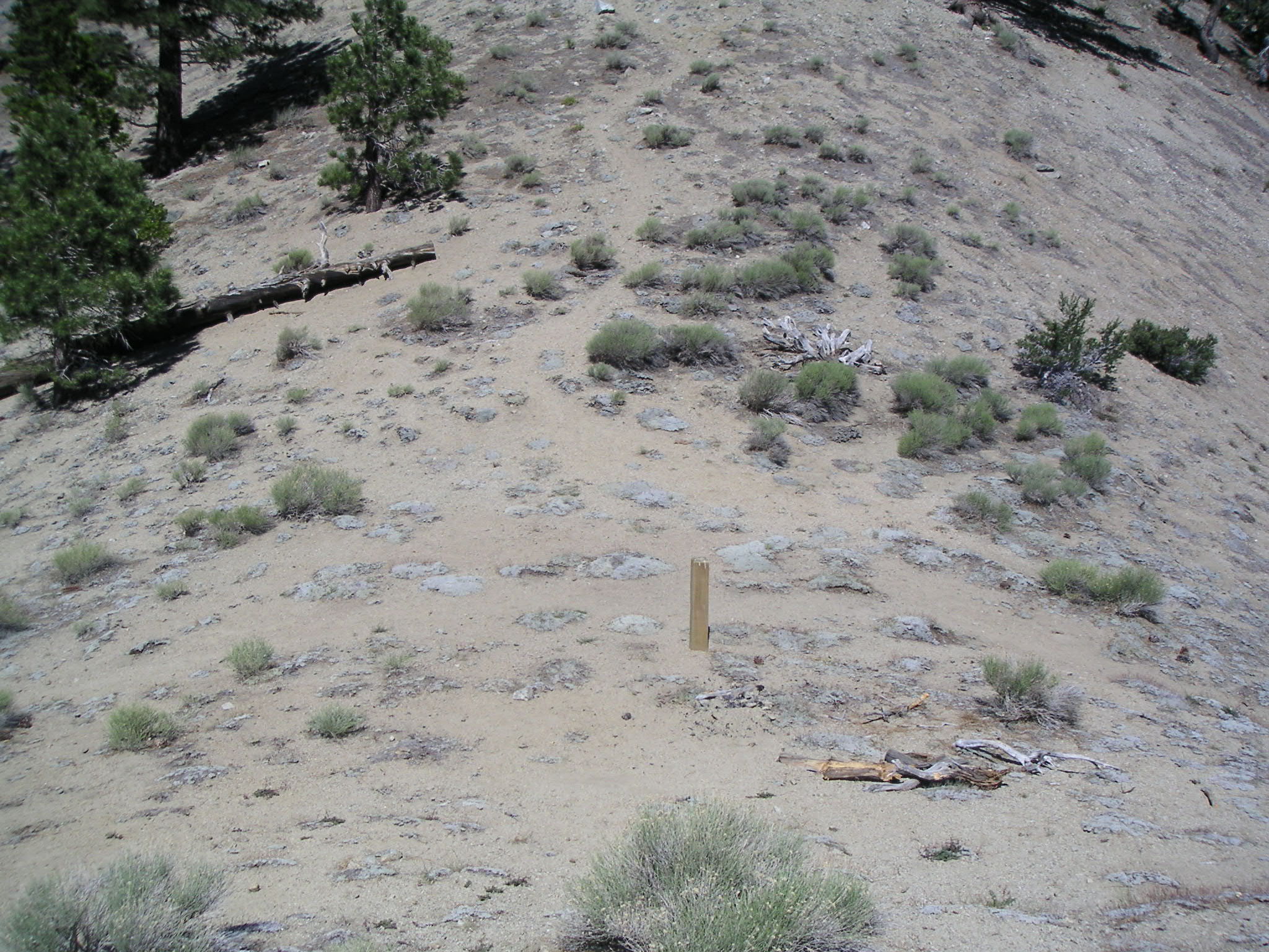
Looking North on Pleasant View Ridge, Showing Antelope Tracks (Three Antelope Seen Immediately Before) |
Looking Northwest from Pleasant View Ridge |
Looking South at West Flank of Mt. Williamson (Numerous Large Animal Tracks) |
Looking Northwest from Pleasant View Ridge on Way to Mt. Pallett |
Looking Northwest from Pleasant View Ridge on Way to Mt. Pallett |
Looking North from Pleasant View Ridge on Way to Mt. Pallett (California Aqueduct in Distance) |
On Pleasant View Ridge |

Looking Southwest from Mt. Pallett |
Looking West from Mt. Pallett |
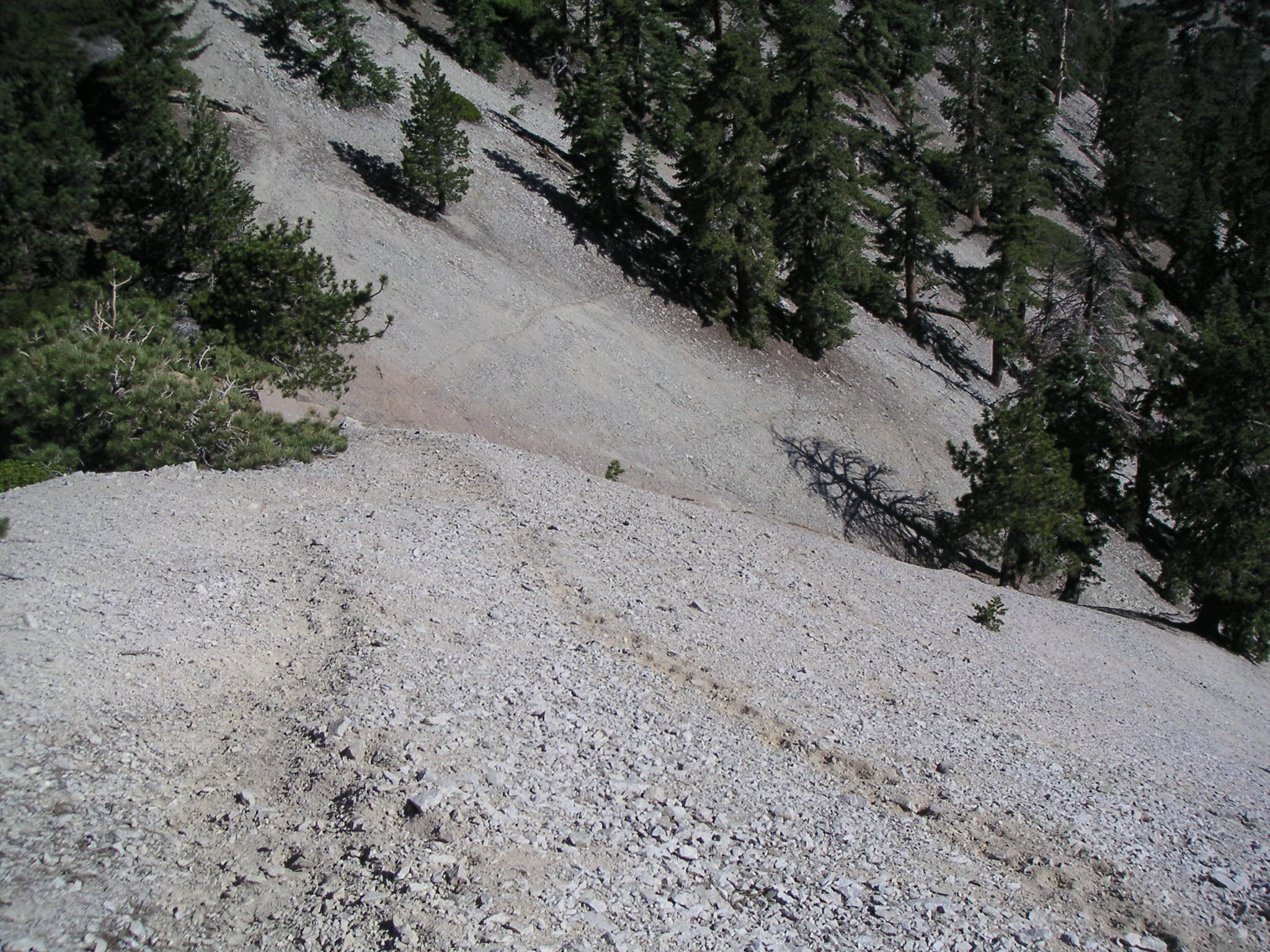
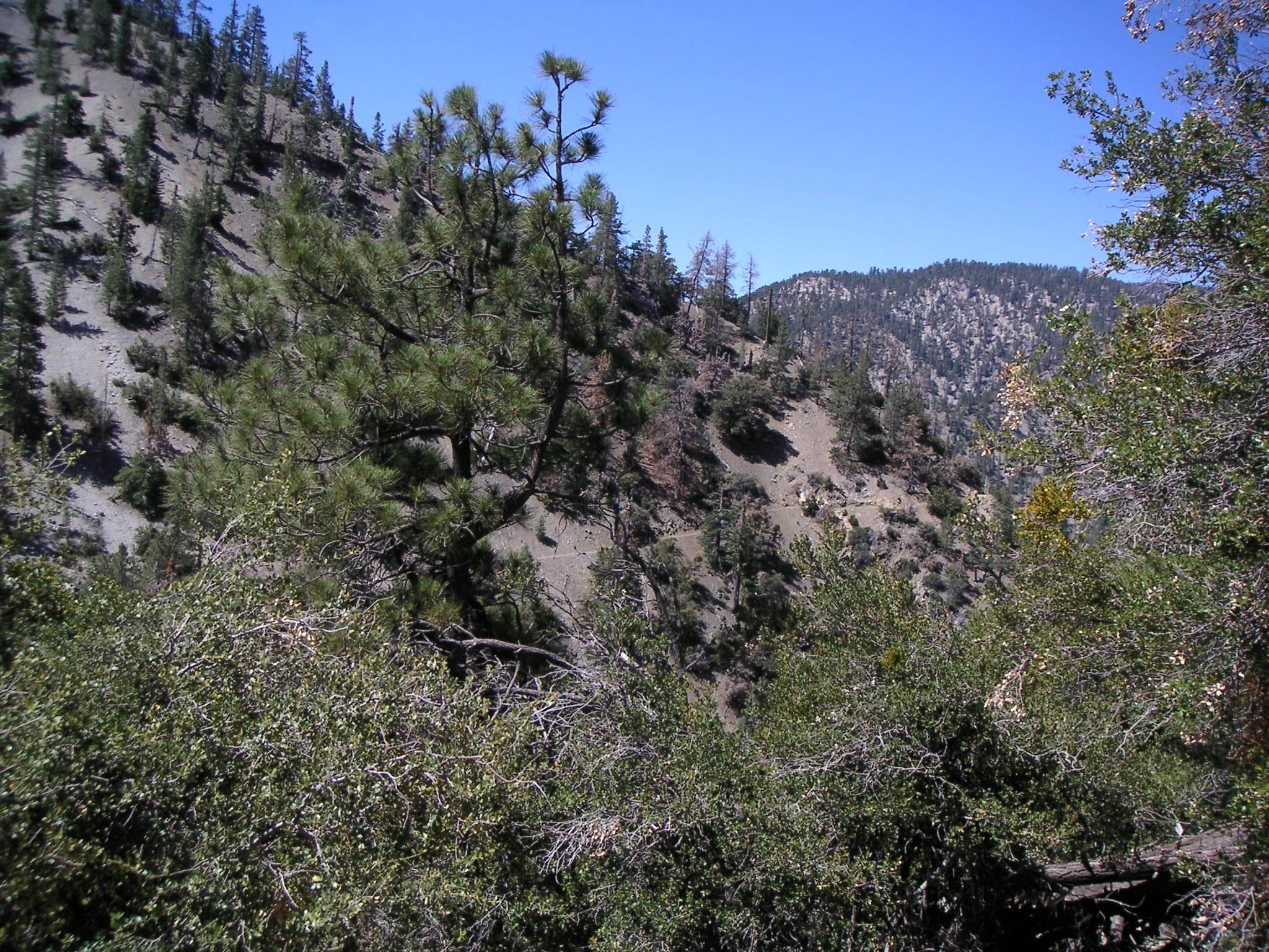
Trail Down from Mt. Pallett |
Approaching Burkhart Saddle from East |
Burkhart Trail Looking North (Not Taken on this Hike) from Burkhart Saddle |
Burkhart Trail Looking South from Burkhart Saddle |
Looking North from Burkhart Saddle |
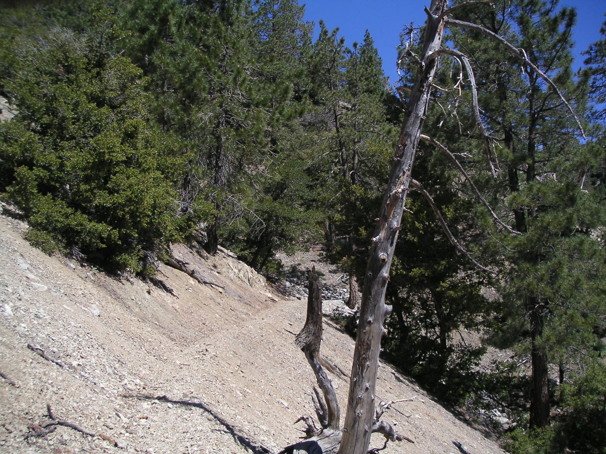
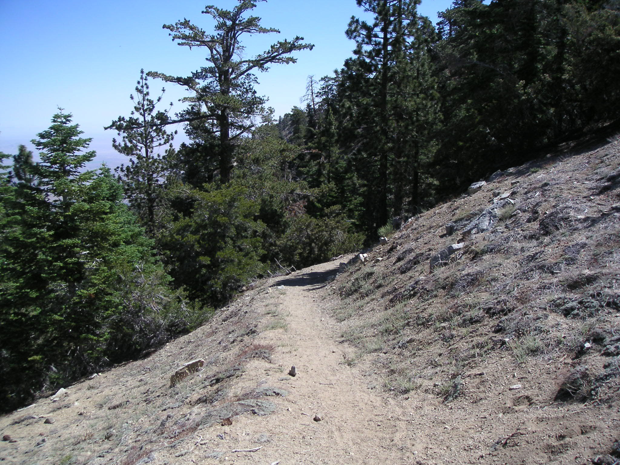
Along Burkhart Trail |
Along Burkhart Trail |
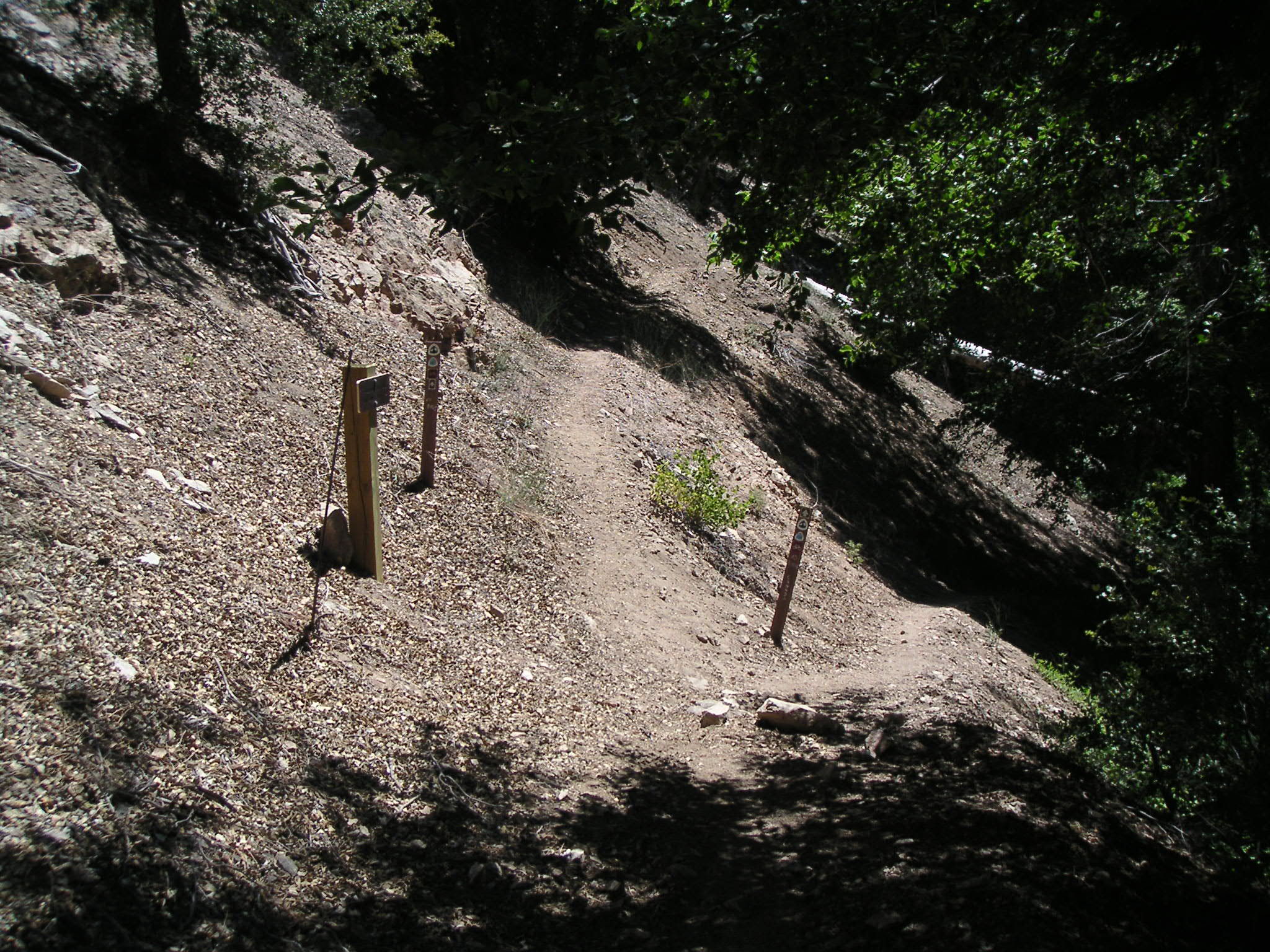
Junction of Pacific Crest (Rattlesnake) Trail and Burkhart Trail |
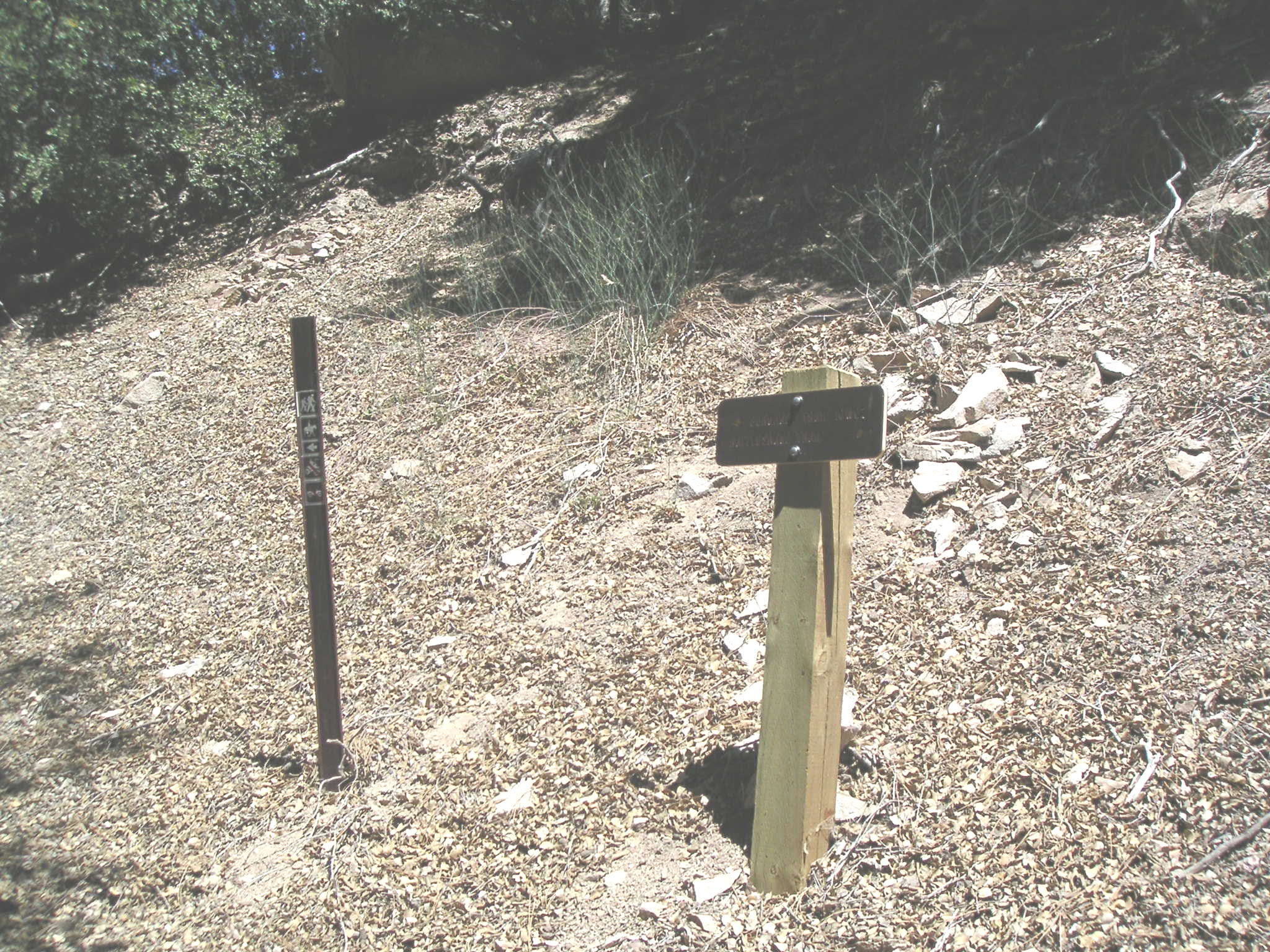
Junction of Pacific Crest (Rattlesnake) Trail and Burkhart Trail |
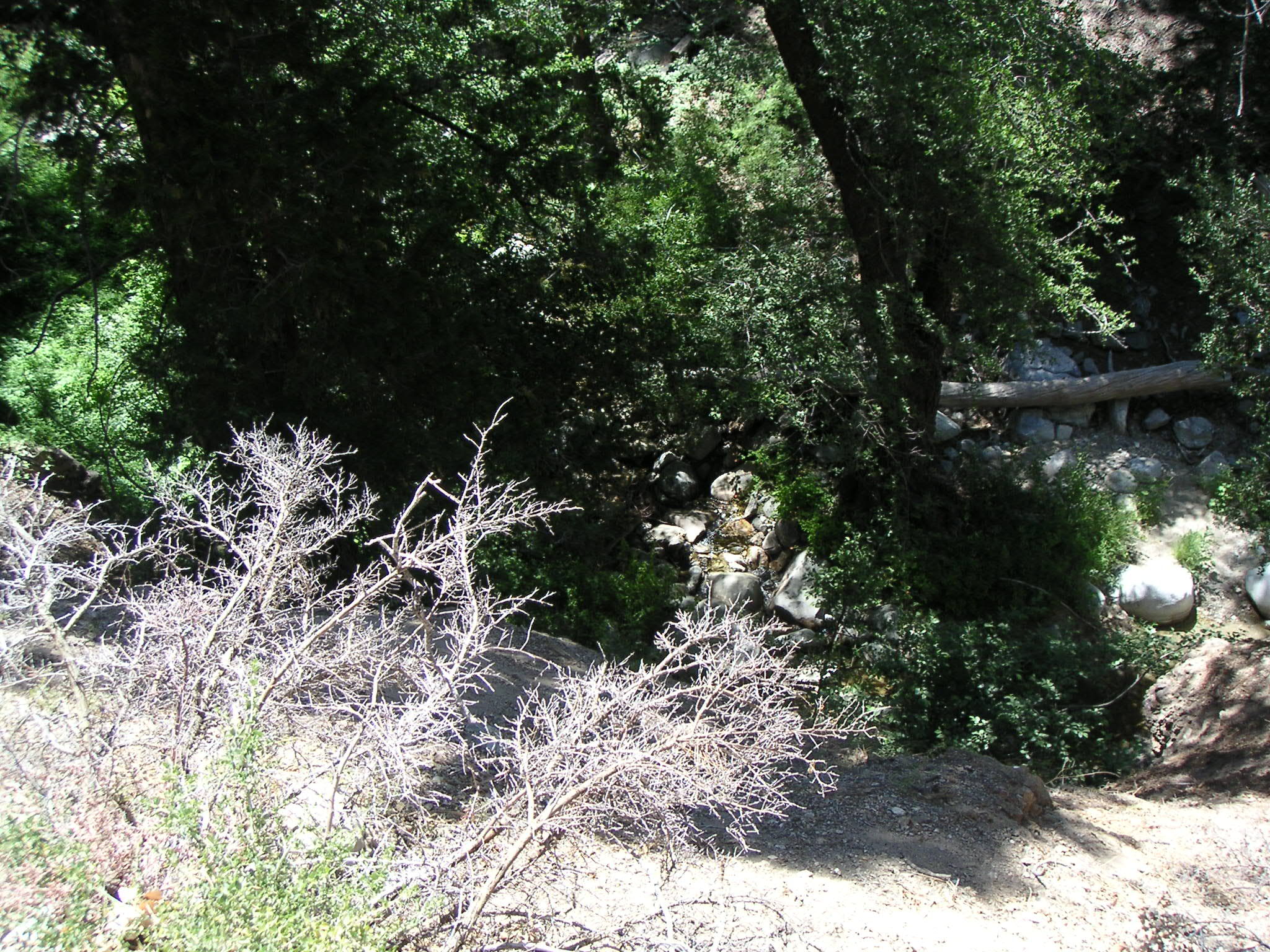
Little Rock Creek from Pacific Crest (Rattlesnake) Trail |
Comments concerning
the layout and functionality of this site should be sent to webmaster--at--touton.info.
Page updated 5 September 2004