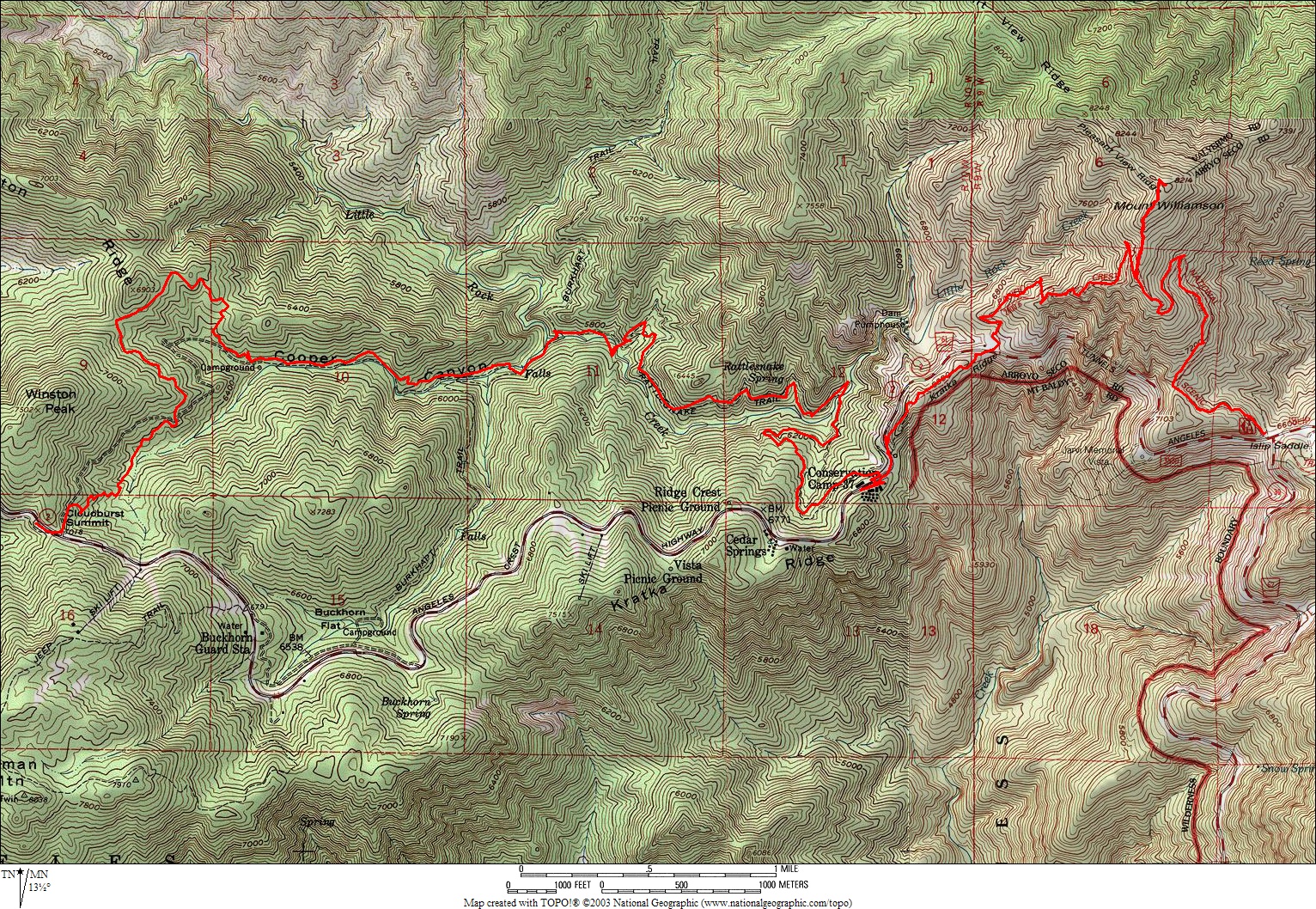
26 September 2004 Hike
Elevation profile
.jpg-only route
Route
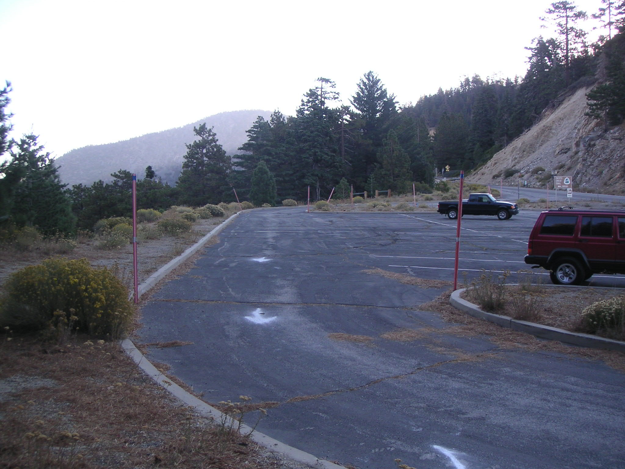
Islip Saddle Parking Lot, Looking East |
Islip Saddle Parking Lot, Looking East Toward Trailhead |
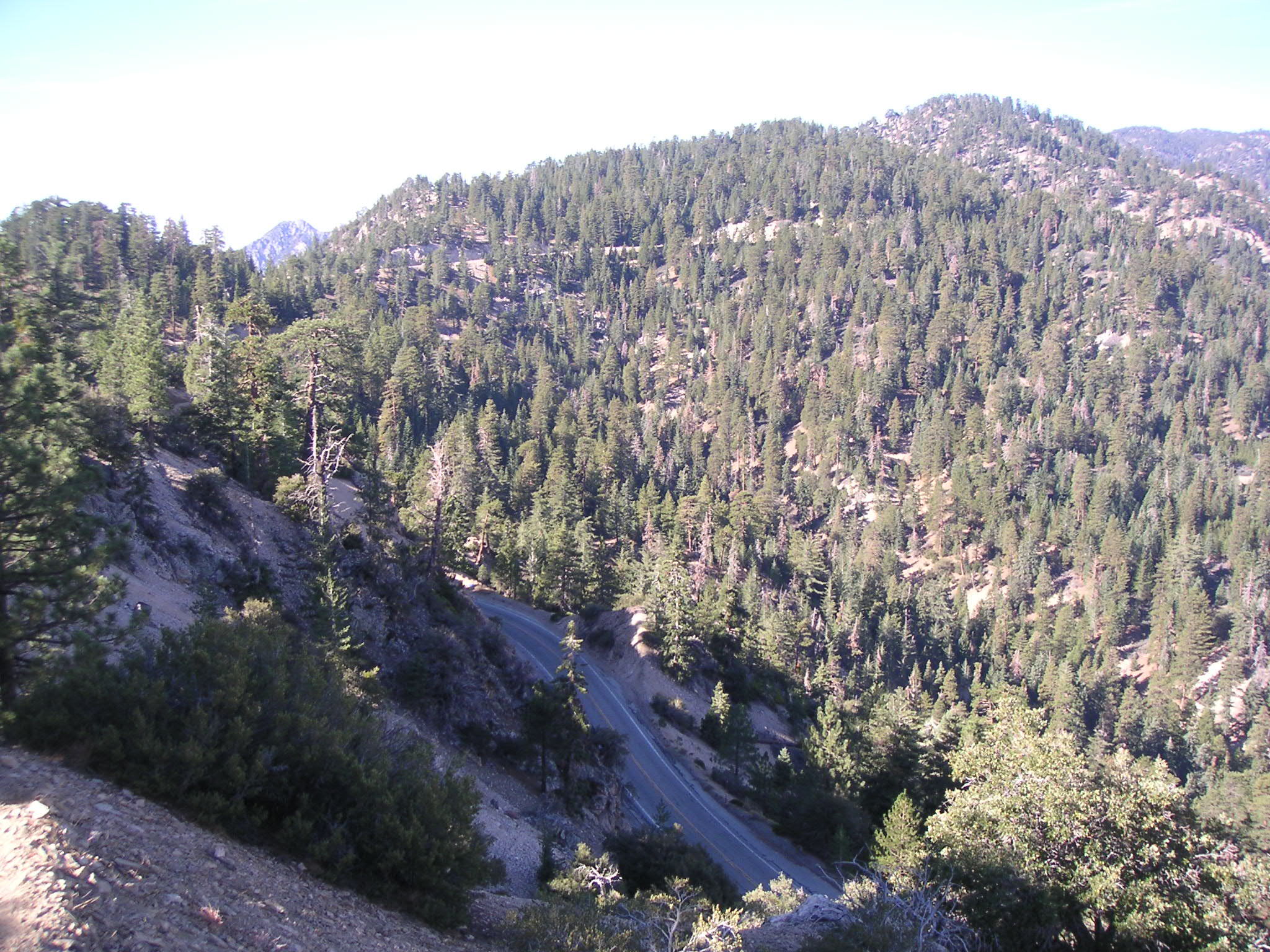
View West from Islip Saddle (First Hill to Be Climbed) |
View Southwest Showing Eagle's Roost from Pacific Crest Trail on Way to Mt. Williamson |
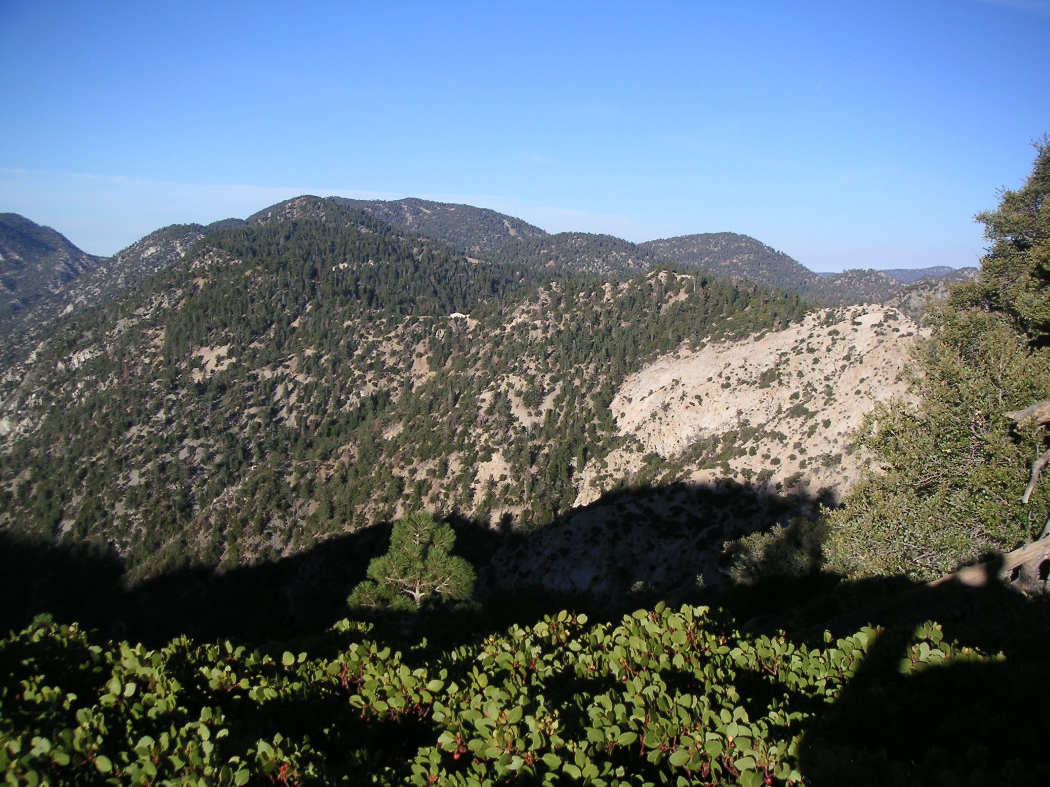
View South from Pacific Crest Trail on Way to Mt. Williamson |
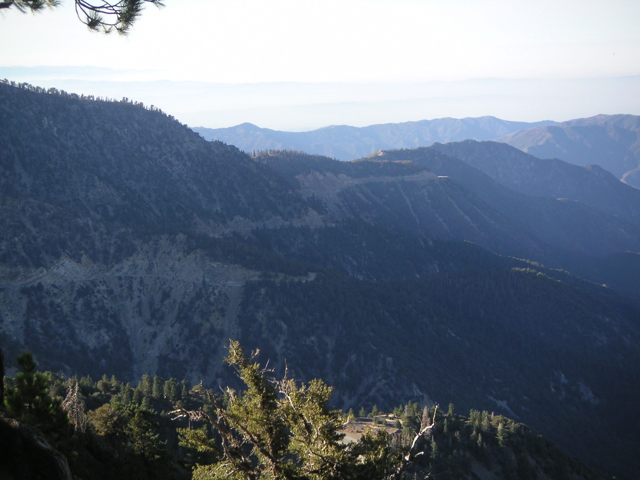
View Southeast Toward former Azusa Road from Pacific Crest Trail on Way to Mt. Williamson |
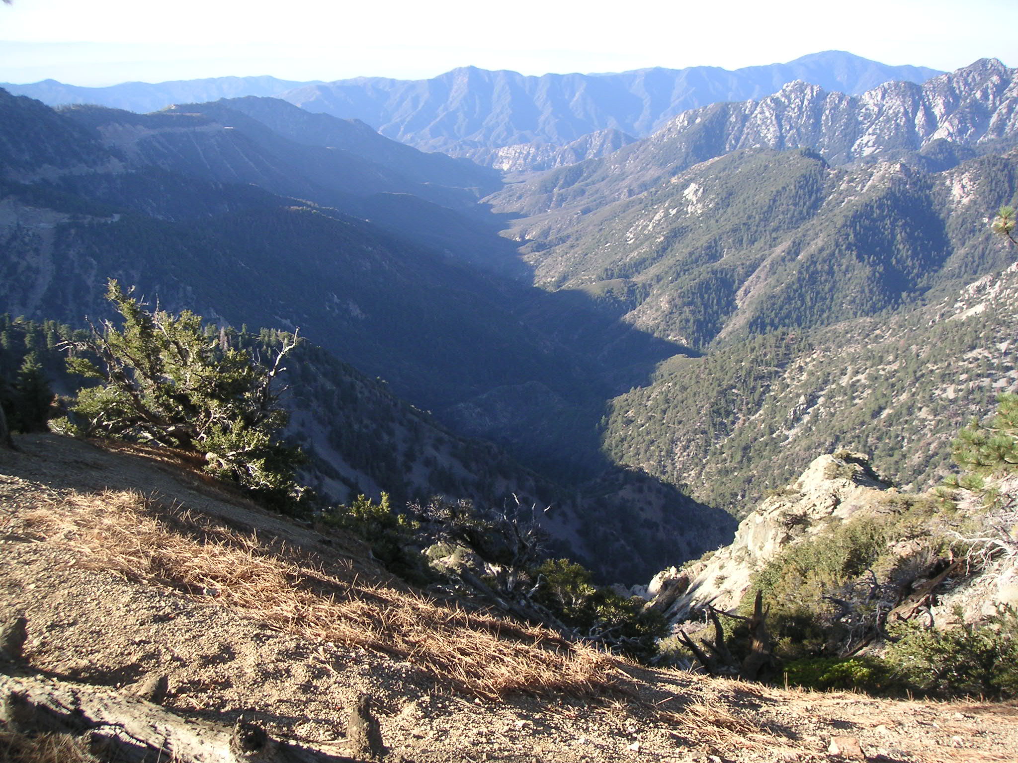
View South of Bear Creek Canyon |
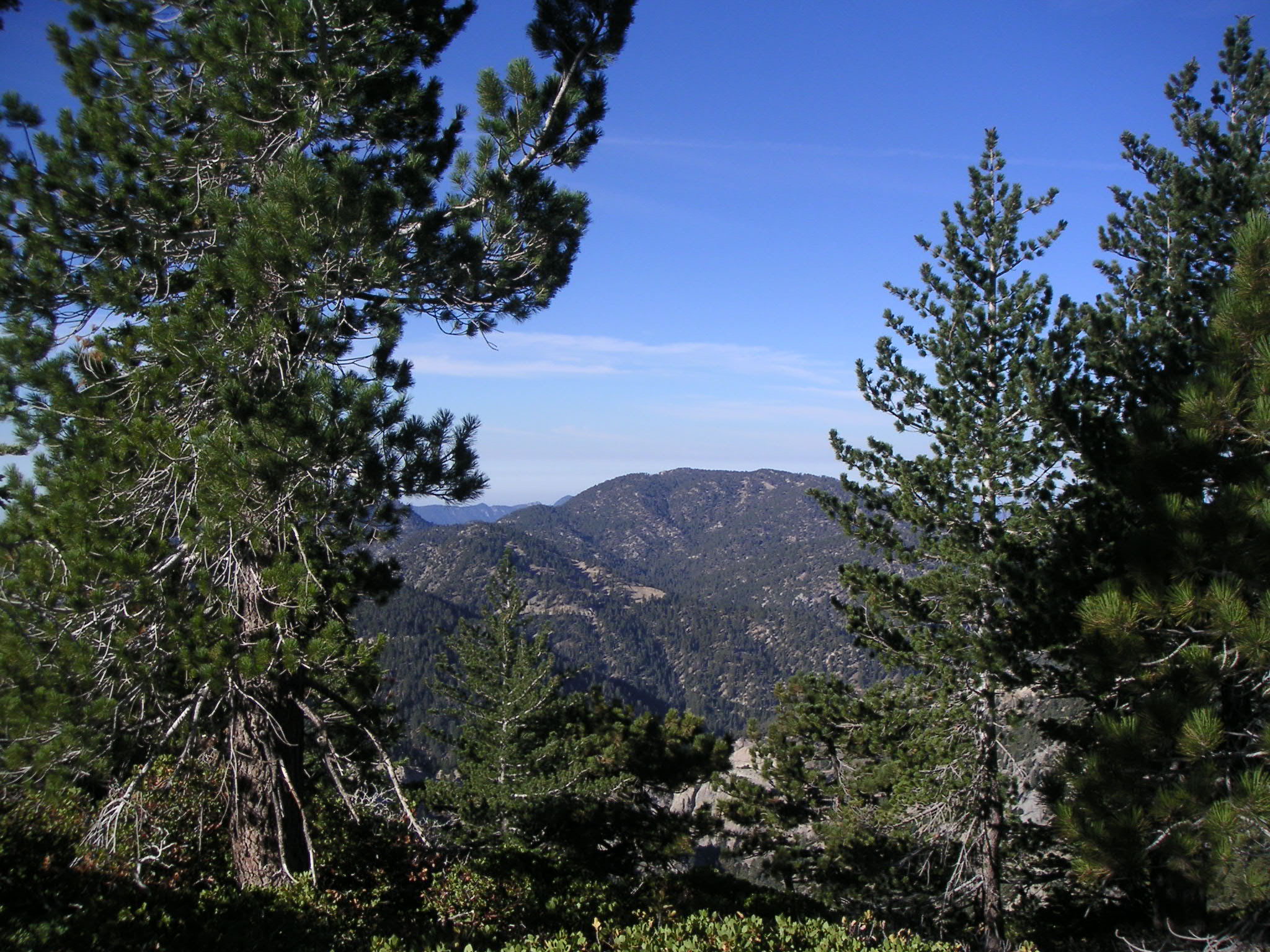
View South from Pacific Crest Trail on Way to Mt. Williamson |
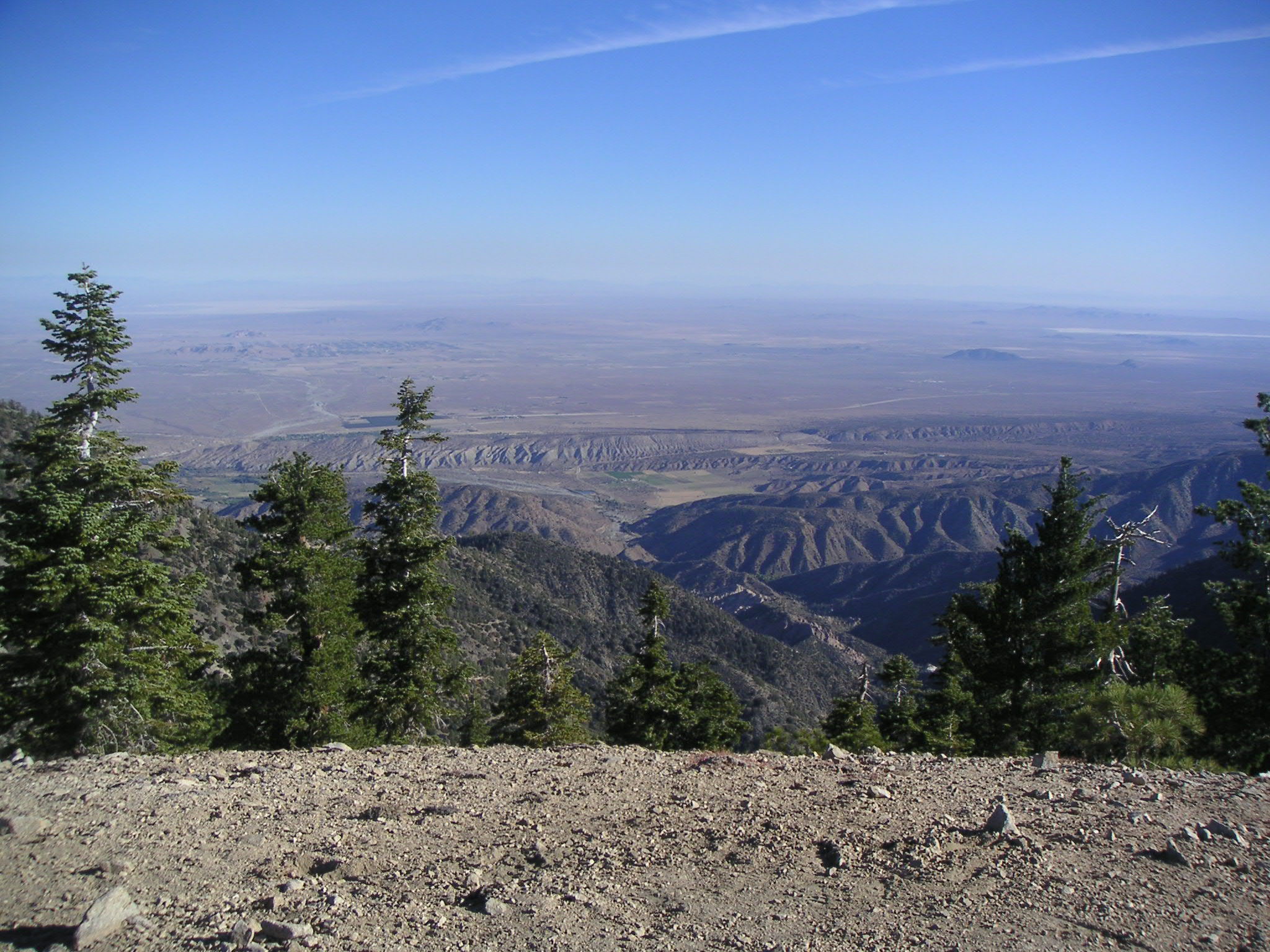
View North over Desert from Mt. Williamson |
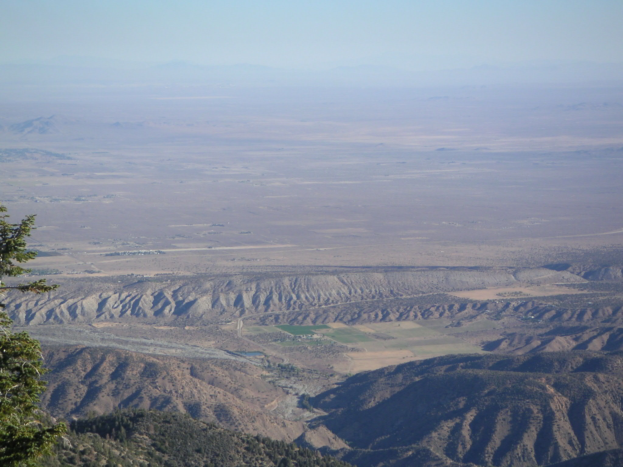
View North over Desert from Mt. Williamson |
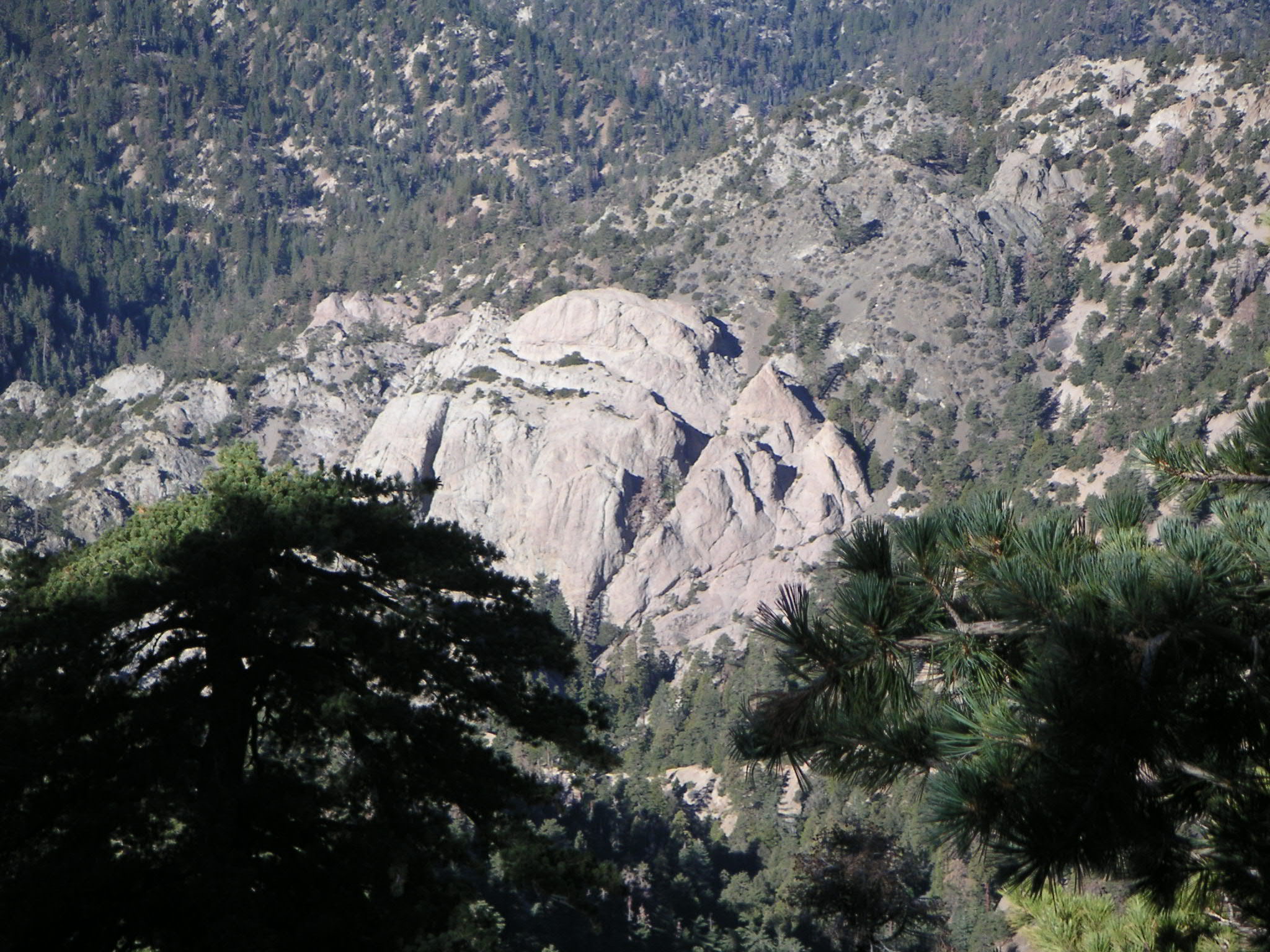
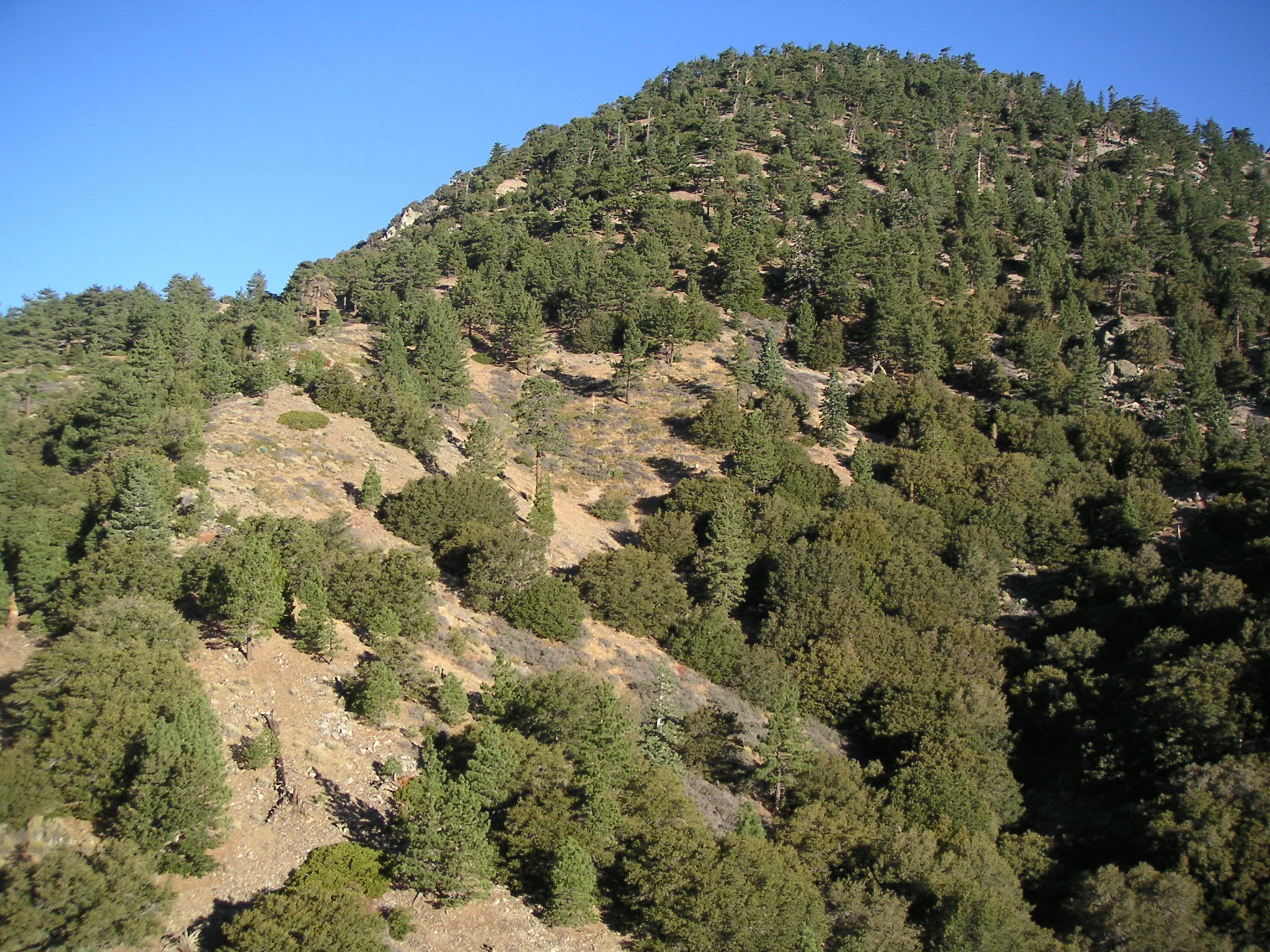
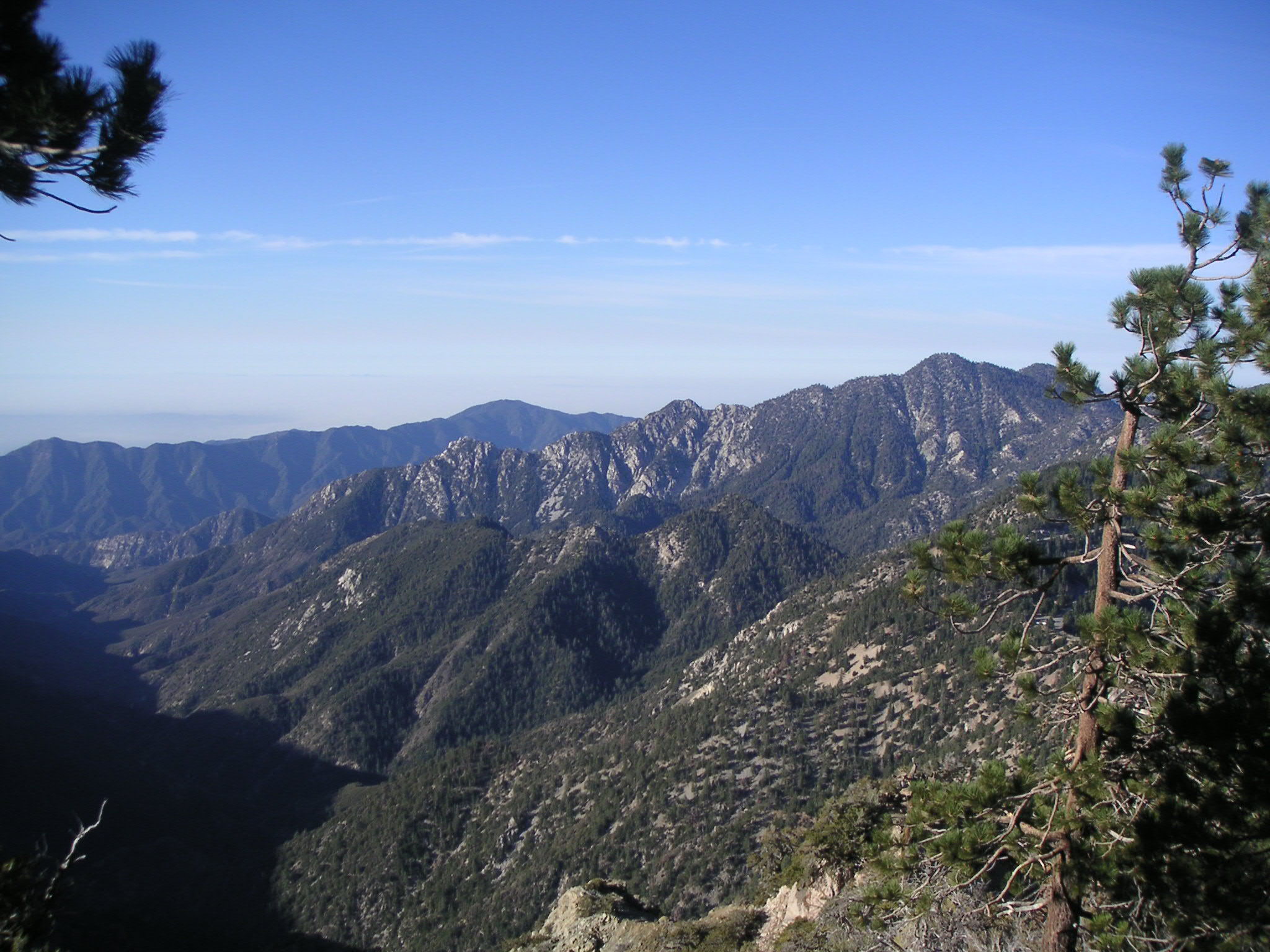
Williamson Rock from Trail Near Mt. Williamson |
Looking South at Eagle's Roost |
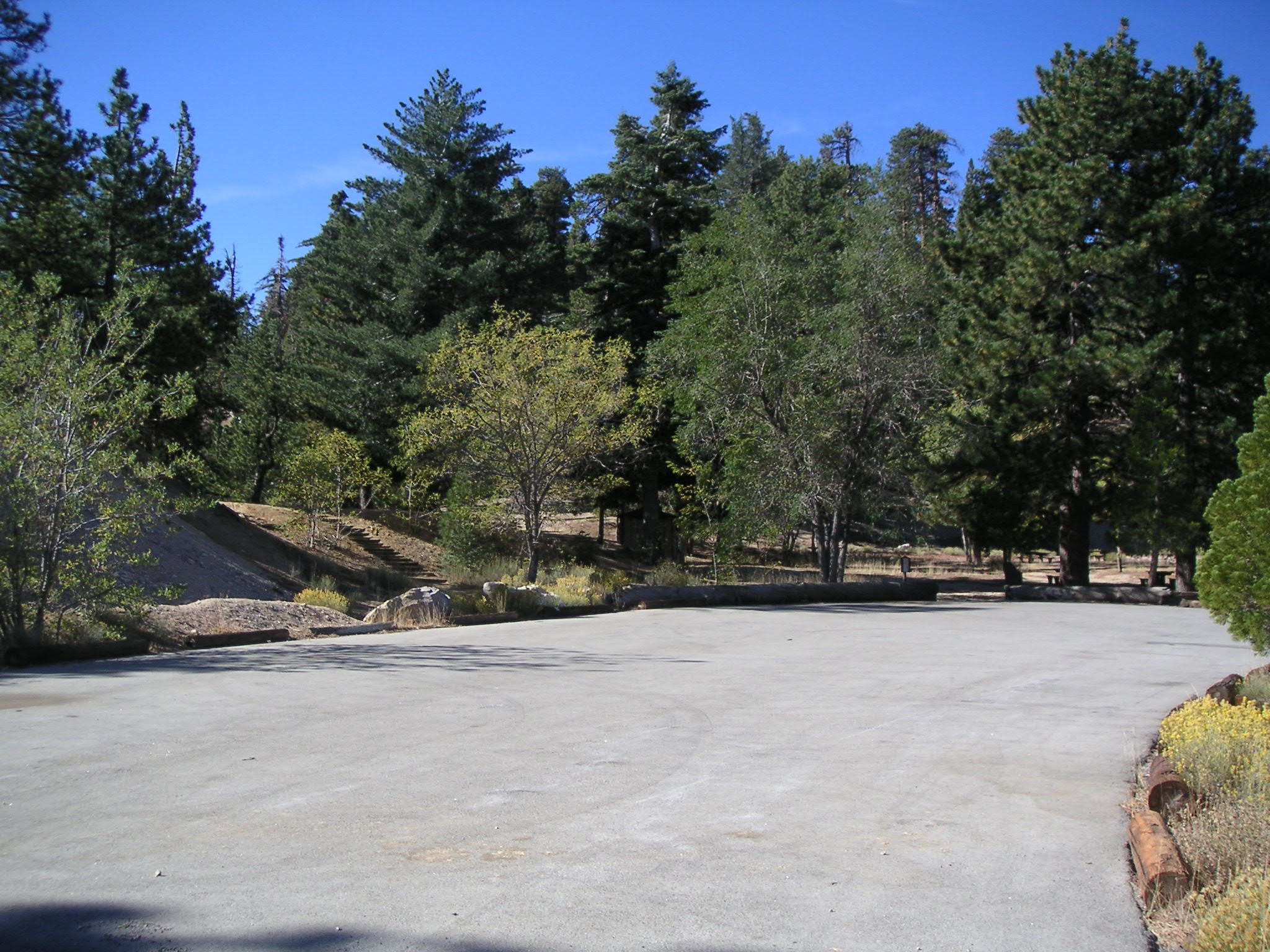
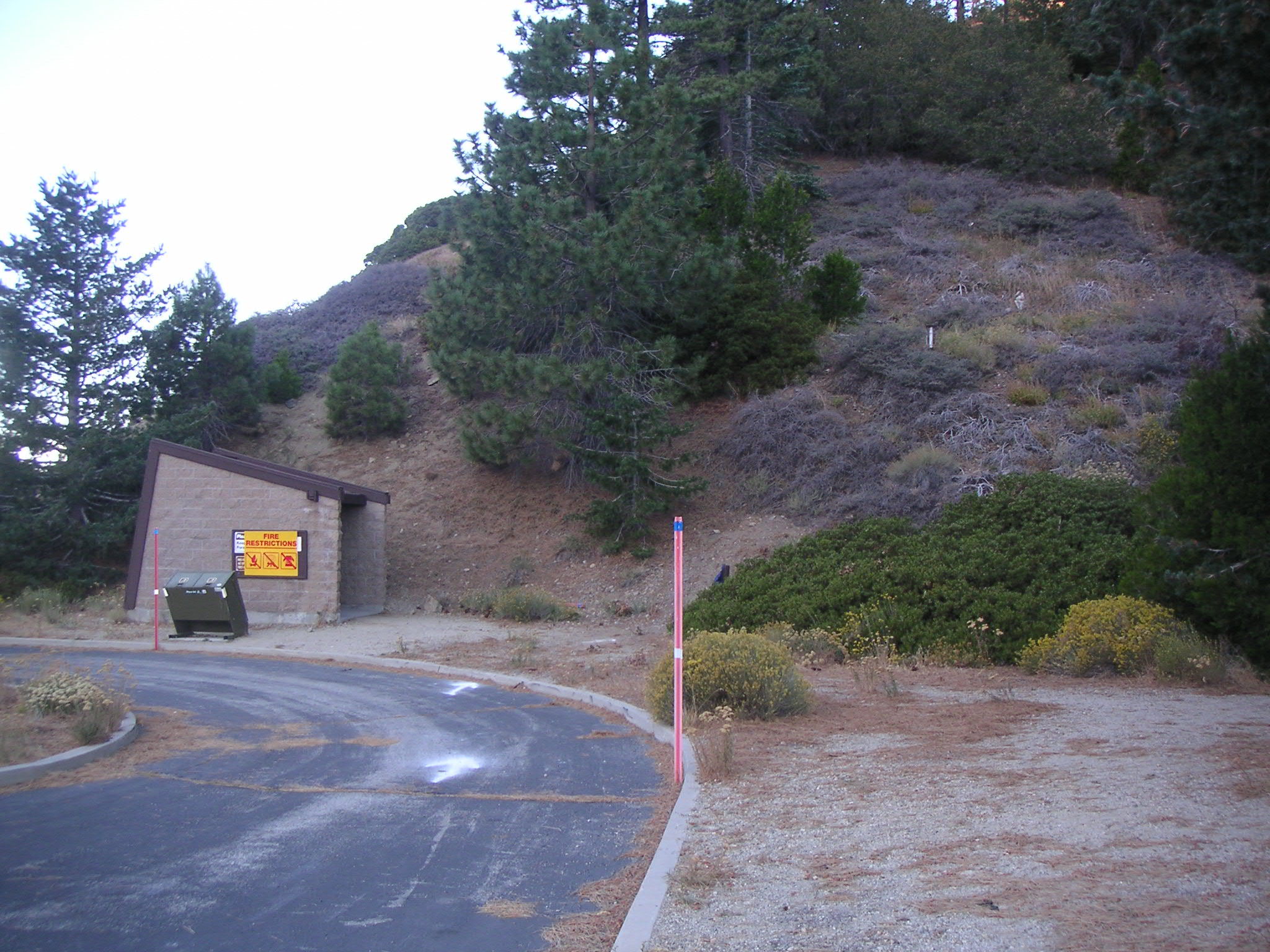
Parking Lot at Eagle's Roost |
Approaching Junction of Pacific Crest (Rattlesnake) and Burkhart Trails |
Looking Southwest at Burkhart Trail from Junction |
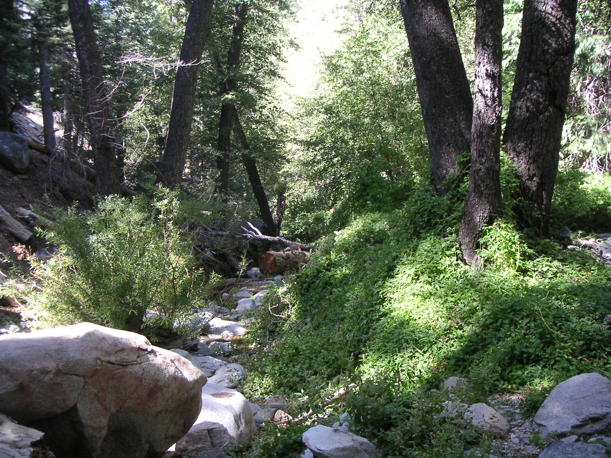
Riparian Scene at Junction |
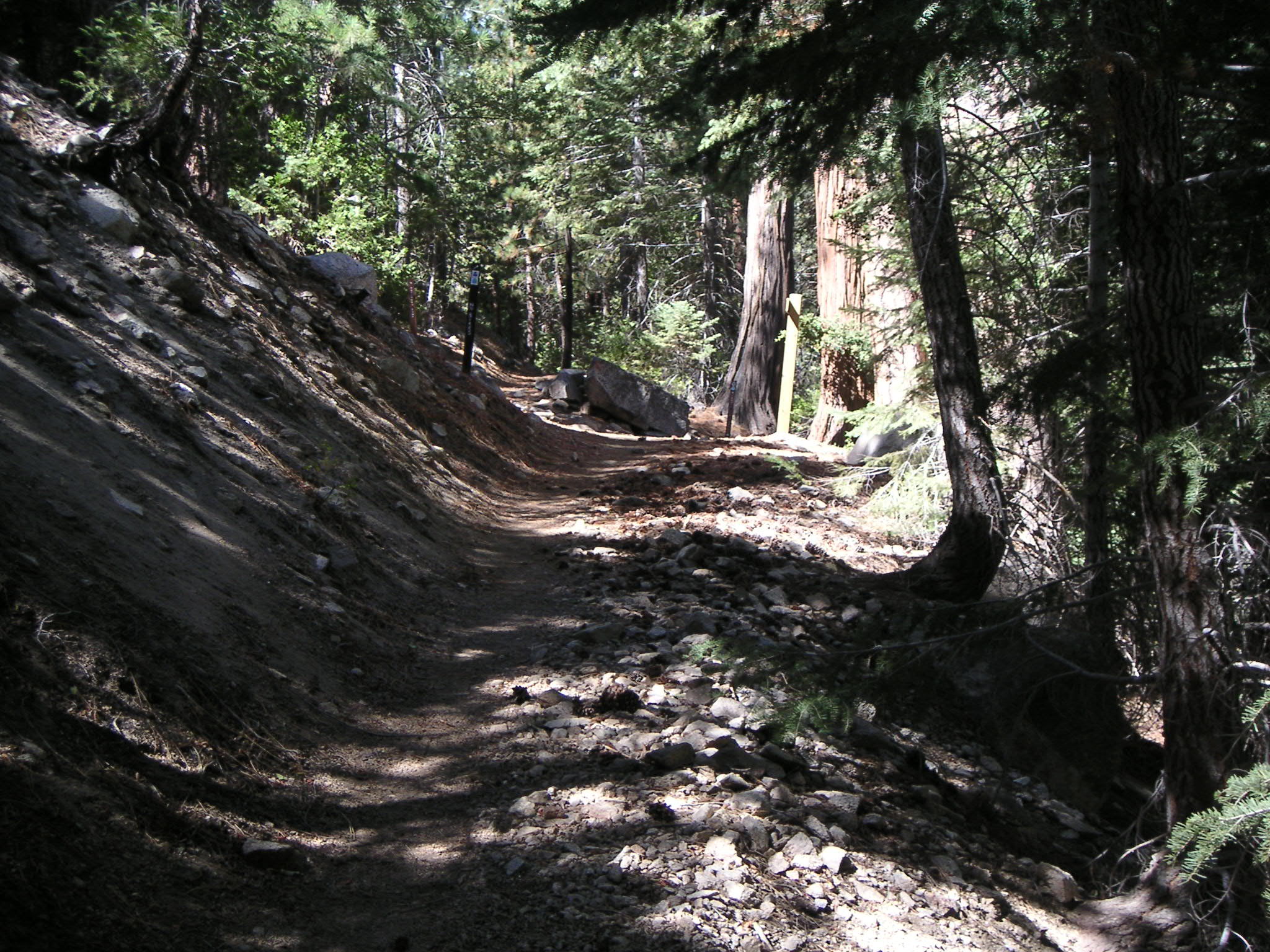
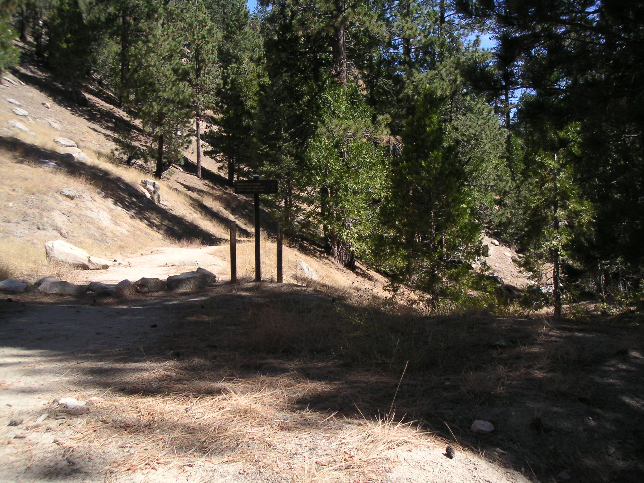
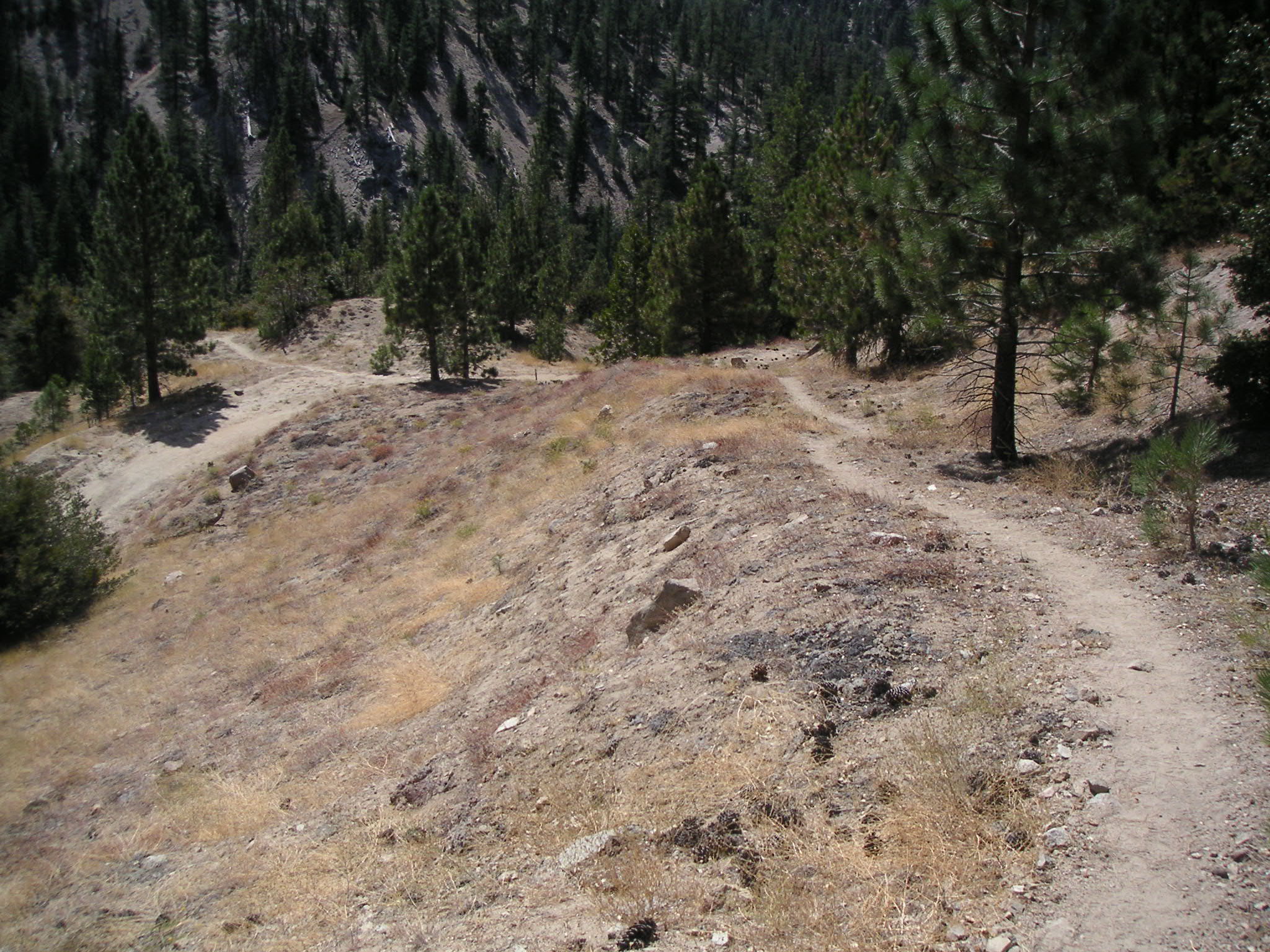
Approaching Junction of Burkhart and Cooper Canyon Trails (Both Parts of the Pacific Crest Trail) |
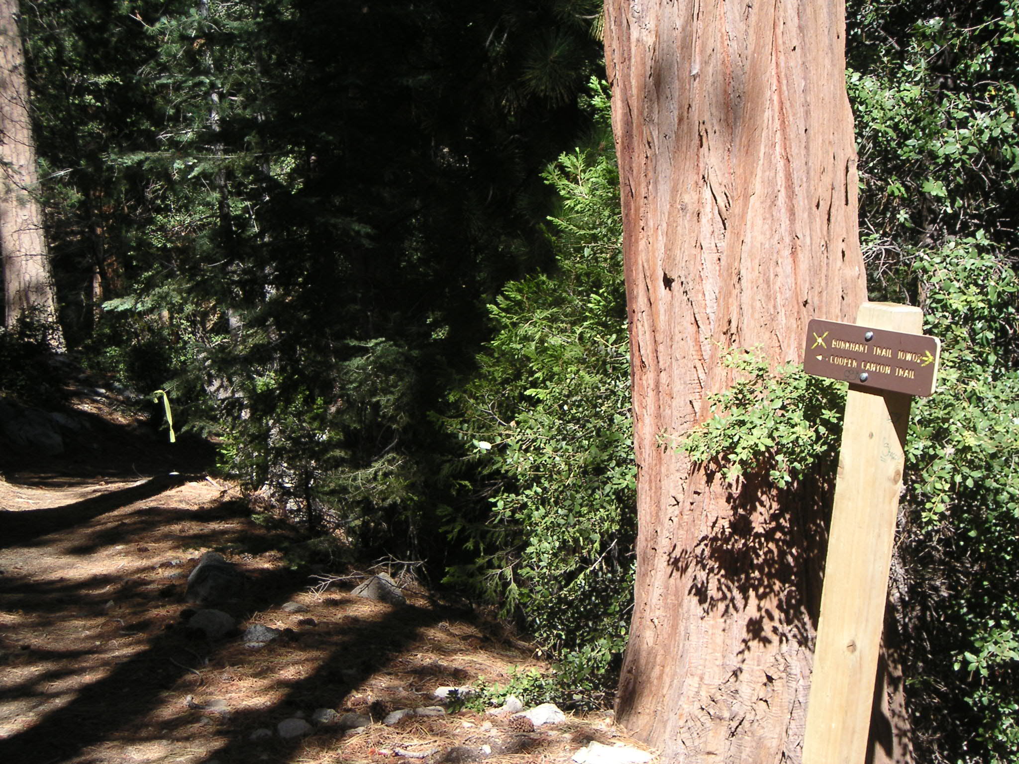
Junction of Burkhart and Cooper Canyon Trails (Both Parts of the Pacific Crest Trail) |

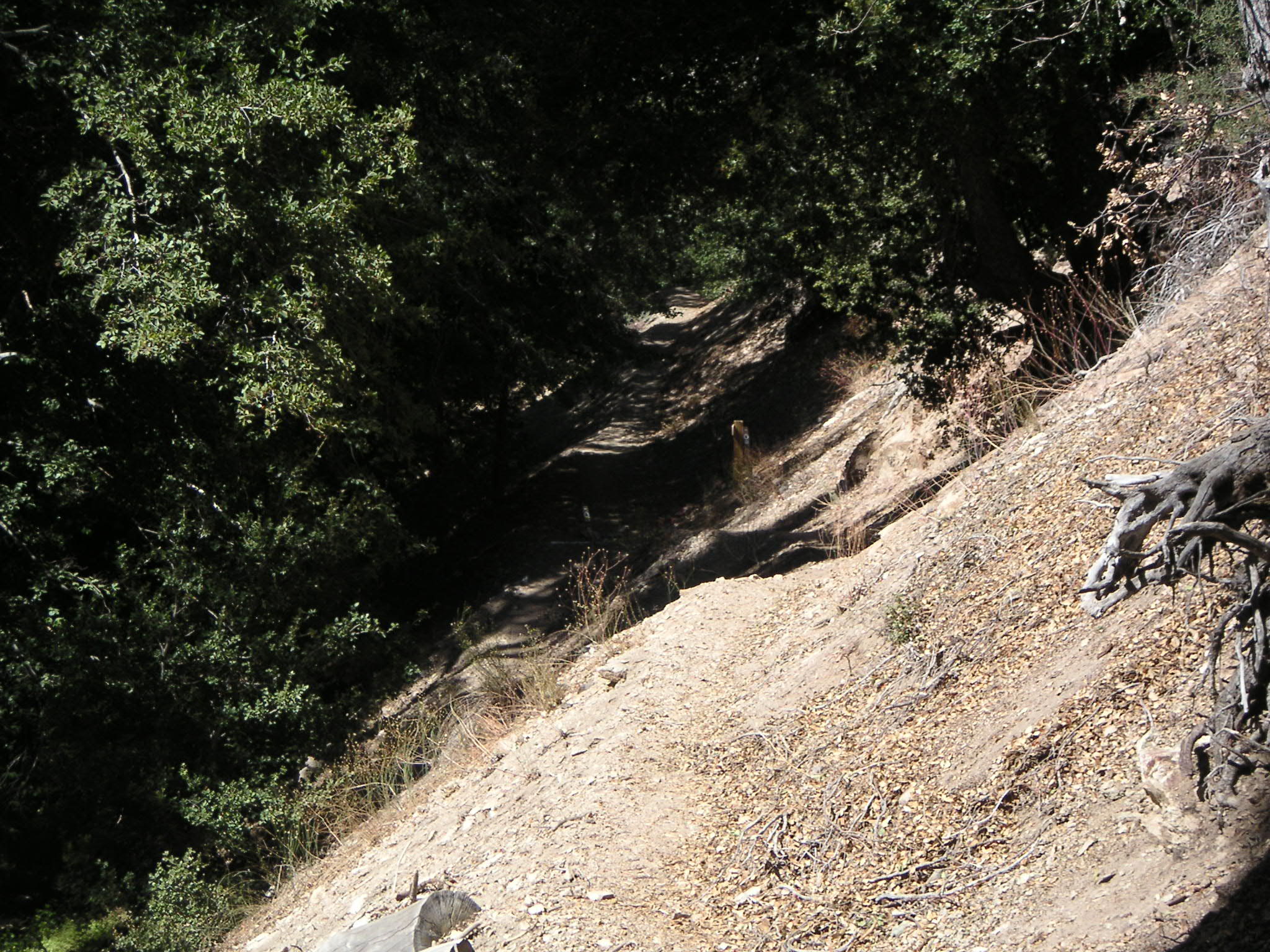
Burkhart Trail Leading South to Buckhorn Campground |
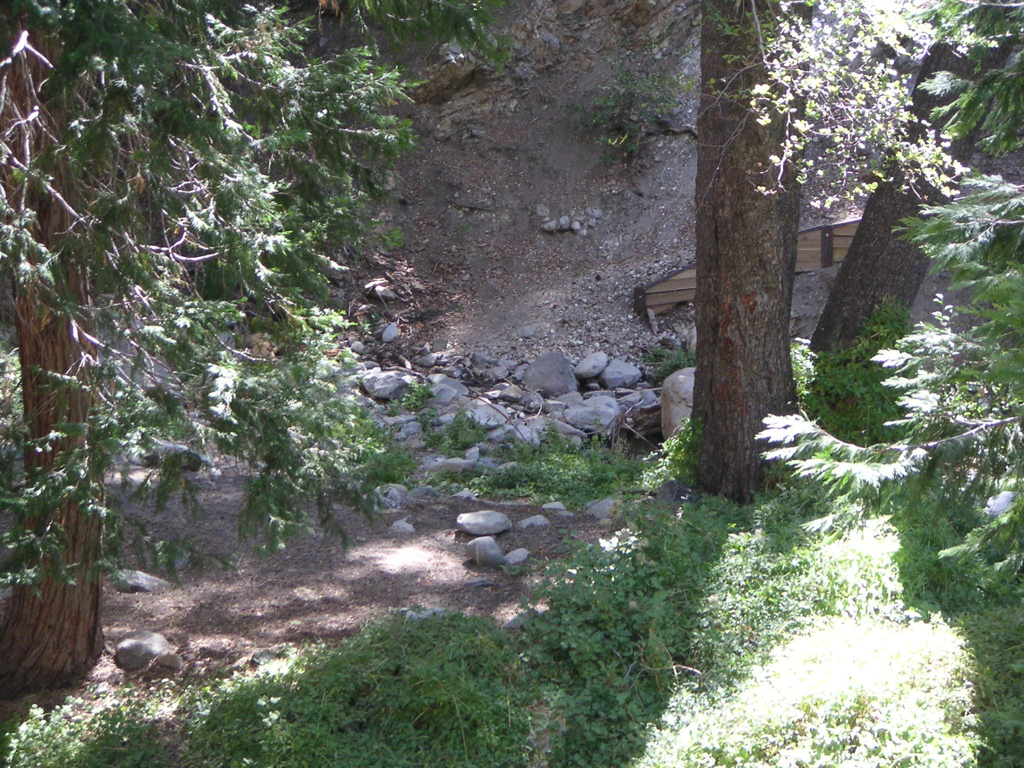
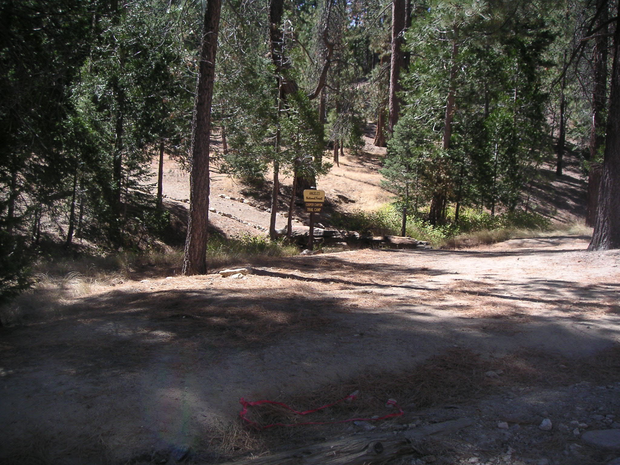
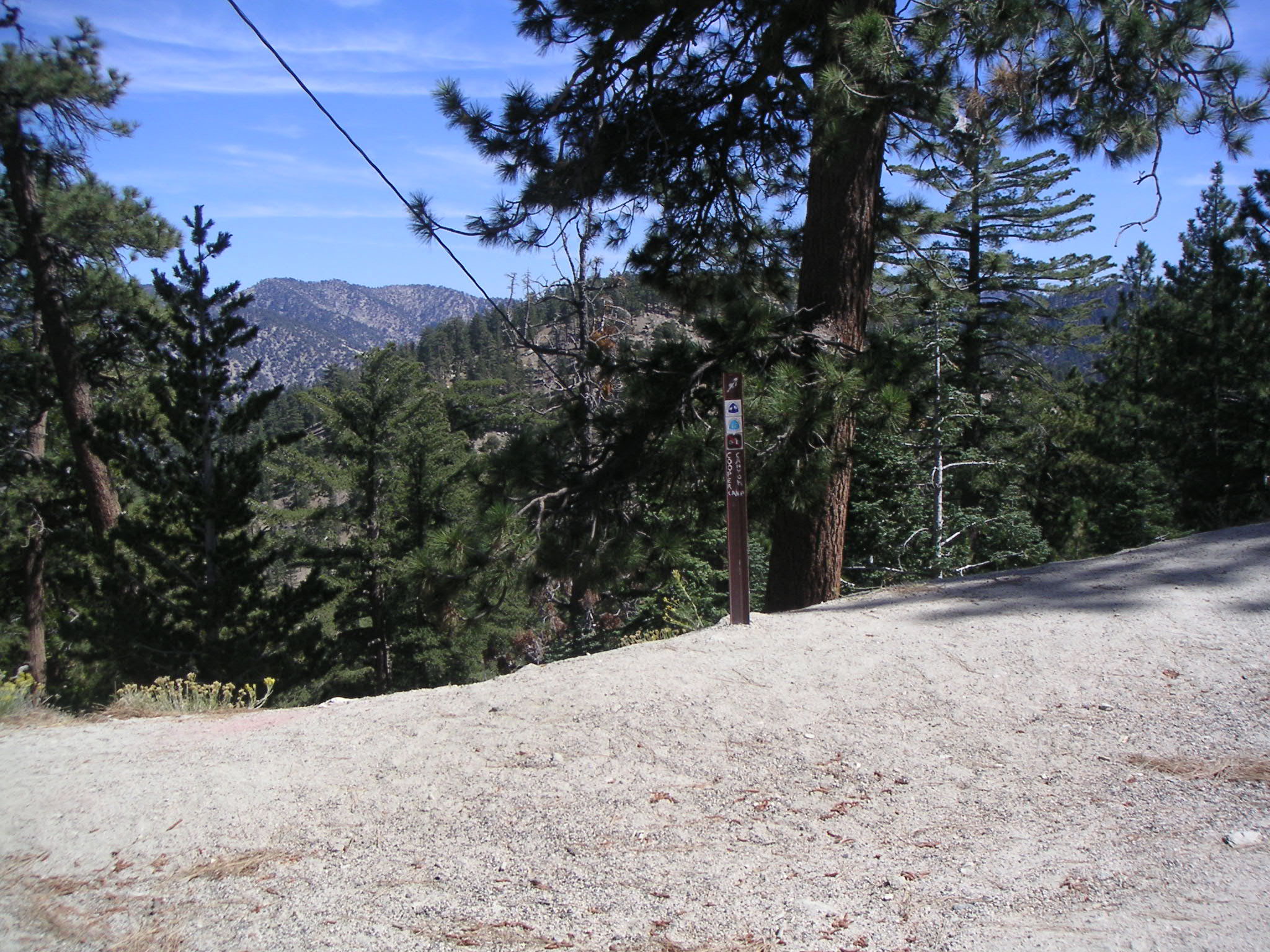
Approaching Cooper Canyon Trail Camp |
Cooper Canyon Trail Camp |
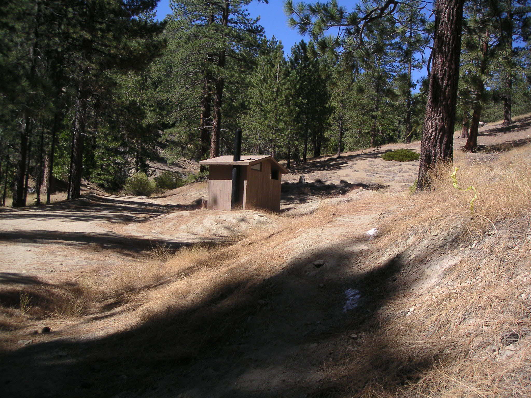
Cooper Canyon Trail Camp |
Looking East at Pacific Crest Trail from Cooper Canyon Trail Camp |
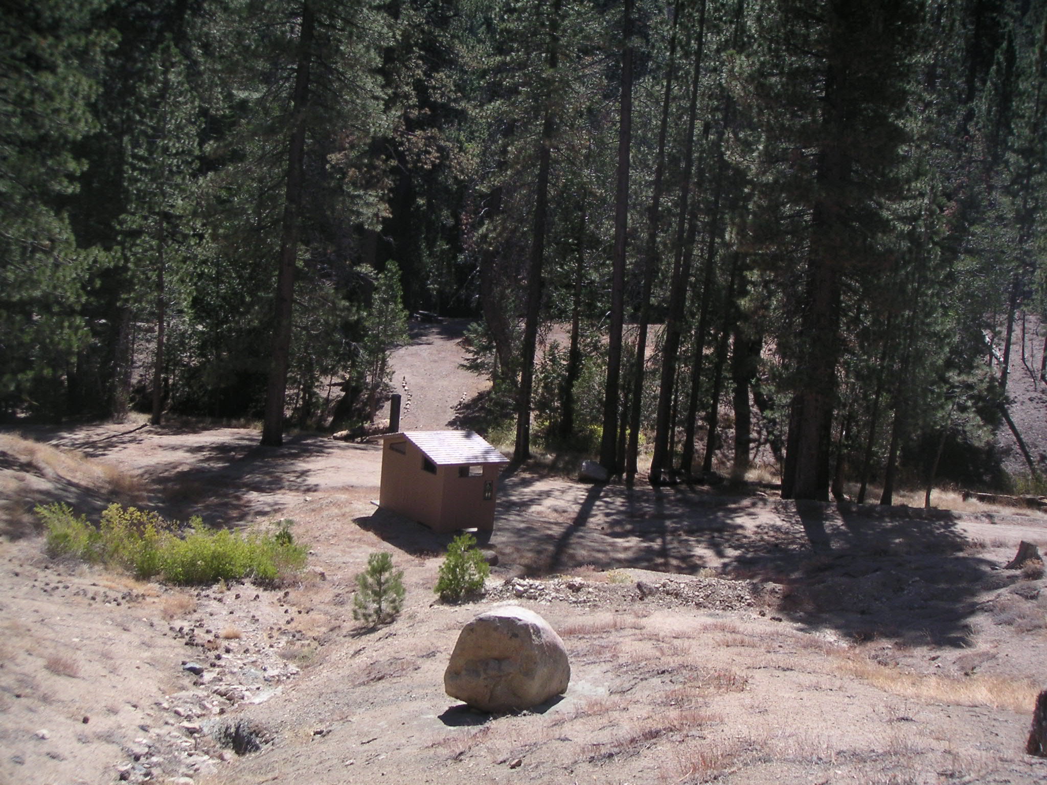
Cooper Canyon Trail Camp |
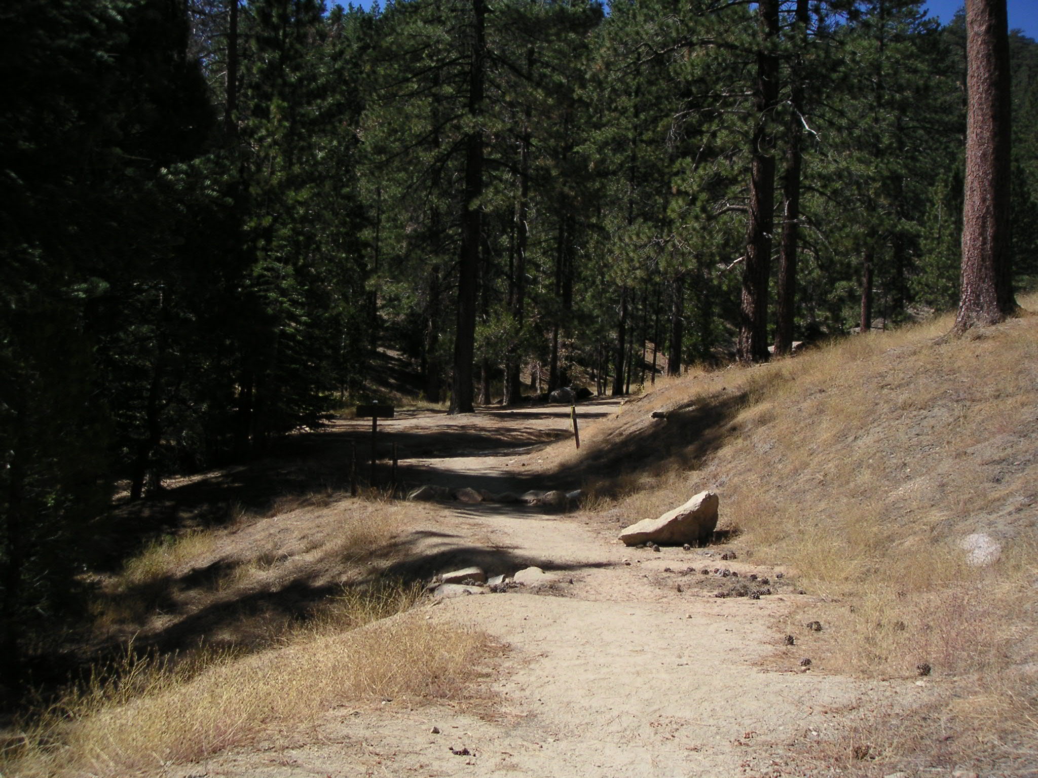
Pacific Crest Trail on Way to Cloudburst Summit |
Looking East at Pacific Crest Trailhead from Cloudburst Summit |
Comments concerning
the layout and functionality of this site should be sent to webmaster--at--touton.info.
Page updated 26 September 2004